 0
0Through Ülgase and Manniva to the Ihasalu cross
There is a barrier on the road at the end of the Rootsi-Kallavere village, and there does not seem to be a way forward. However, the barrier is only for cars! Pedestrians just walk around it and find themselves after about 70 m on the Saviranna road. We turn right for Ülgase.
After one kilometre, we come to a crossroad (the Saviranna road crosses the Kütte road). Straight ahead are the Soviet-era summer cottages. Tiny houses stand close together and some of them are being reconstructed for year-round habitation. The sign of the town of Maardu can be seen on the right, but we proceed to the left towards Ülgase. Soon enough we are in the centre of Ülgase village. A few limestone auxiliary buildings of the Ülgase manor have survived here.
Ülgase village, as the place where fishermen lived, was first mentioned in written form in 1387.
On 28 April 1871, the first meeting of the Ülgase parish council took place, being the first undertaking of the community. All councillors were still illiterate, only one, Hindrek Nairismäe, being able to sign his name. The parish had 76 taxpayers. On 6 November 1872 the council hired Juhan Schillert to be the school teacher and, after the parishes were joined together, children from Jõelähtme also went to school in Ülgase.

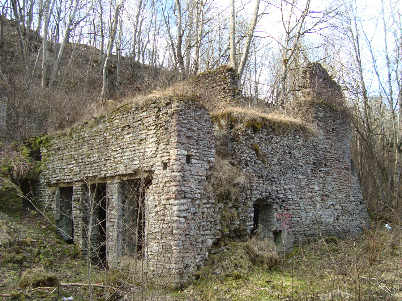
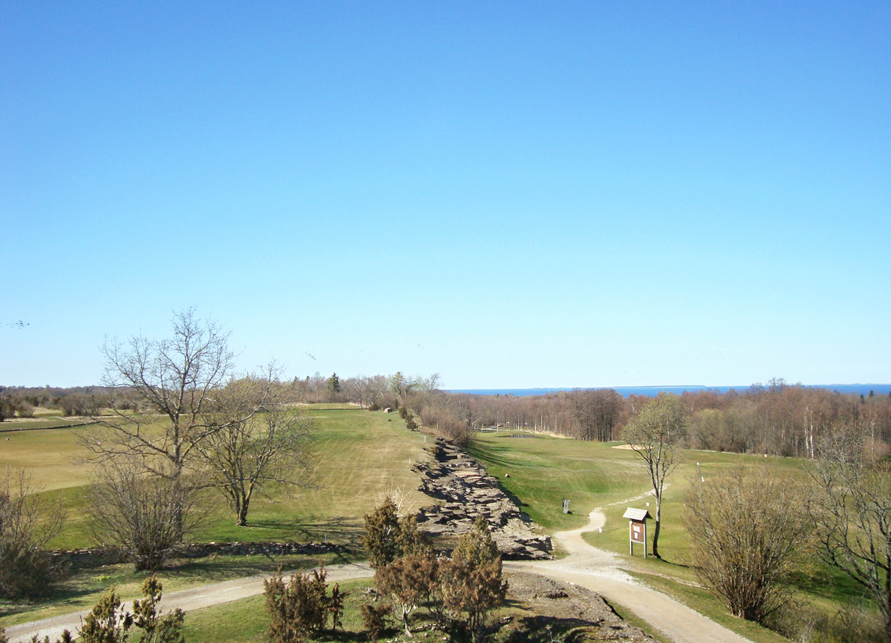
The first Estonian phosphorite enterprise OÜ Eesti Vosvoriit started mining at Ülgase in 1921. There was an underground mine and an enrichment factory, a harbour on the Kaljuotsa cape and a few kilometres of narrow-gauge railway from the mine to the harbour. Mining took place 10–15 m deep and it did not interfere with agriculture. About 4 km of underground passages run under the Ülgase klint. The fertiliser, which contained only a little phosphorite and which was not easy to absorb, was not in much demand and thus the phosphorite industry failed to succeed. The Ülgase enrichment factory was destroyed in the fire on the night of 5 December 1938, but the walls are still visible by the Mäealuse road. Inside the klint, above the ruins, we can see several entrances to the mine passages, currently inhabited by bats. It is forbidden to enter the passages, as they may collapse. To protect the limestone klint and the habitat of bats, the 22-hectare Ülgase nature reserve was established in 1960.
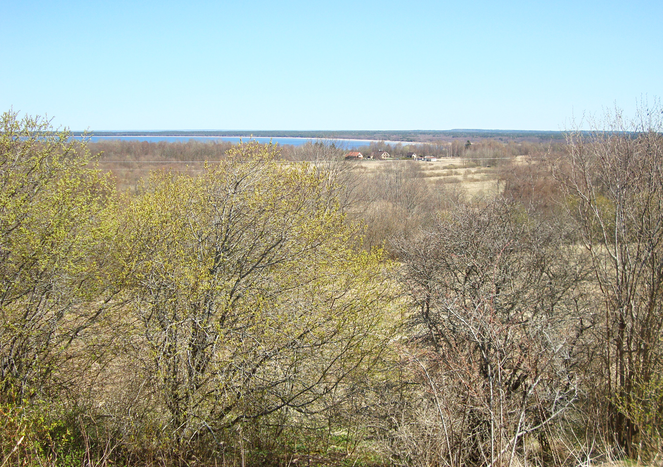
You now have a choice. If you would like to see the ruins of the sorting-enrichment factory, you have to descend to the Mäealuse road that runs parallel to the klint. More romantically inclined travellers can walk on the path up above the klint. There they will enjoy an occasional view of the sea between the bushes, over to the Jõesuu or Jägala bay. The typical alvar vegetation contains orchids as well. On the right, in the distance, tower the coal stock hills of the Maardu northern quarry. The highest point of the Ülgase klint (46 m above sea level) is called Hõbemägi, which may have been a cult and sacrifice site in prehistoric times.
A bit further on from Hõbemägi you can descend from the klint to the Mäealuse road. There is a large information panel by the road with a map of the surrounding area, where you can see the route you have taken and decide where to proceed next. We turn left to the Manniva road that takes us towards the sea through Manniva village.
The village was first mentioned in 1555; Manniva village peasants were recorded as coastal peasants of the Jõelähtme manor. It is known that there were excellent salmon and burbot fishing grounds in the 17th century. In 1688 the village consisted of 5 farms.
After the Great Northern War (1700–1721) and the plague, the village was abandoned and thus the 1726 review no longer mentioned it. In 1834, the village again had 5 small farms, where people earned their living by fishing and agriculture. By 1918, the village had 22 farms, 10 of which had been bought and the rest had been rented.
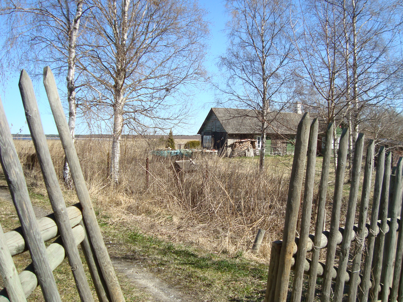
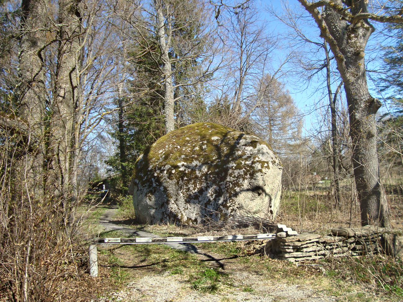
The old farms of Manniva village stand by the sea, with the later ones being higher up. The village coastal meadows are the nesting places for swans and the stopover places for geese. Several large boulders can be seen in the village as well.
From Manniva village we come via Manniva road straight to the Jõelähtme golf course, opened in 2006. It is among the best golf courses in Europe. The courses are well adapted to nature and placed on several levels from under the klint almost to the sea (architect Lassi Pekka Tilander). Traffic rules must be carefully observed! Small golf villages besides the courses display private residential houses designed by prominent Estonian architects. The grand Jõelähtme golf club, in the style of an old barn dwelling, (architect Andres Siim) accommodates a restaurant that offers excellent food or just a cup of coffee.
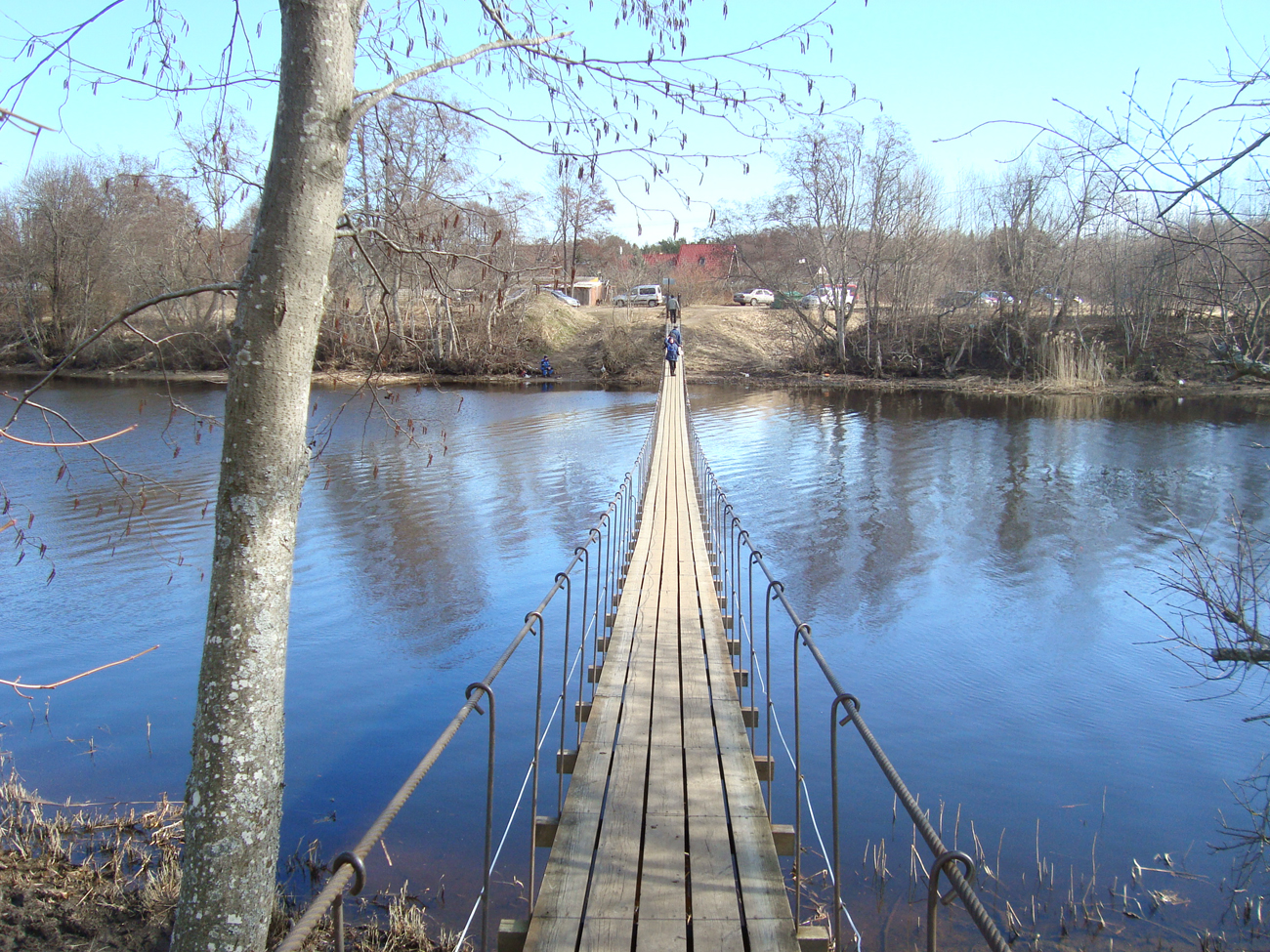
We now move on towards the river. Here, the Jägala river flows into the Jõesuu bay. A suspension bridge takes you across the river, which is in fact the only means of getting to the other shore. There are always numerous fishermen by the river. Beyond Jõesuu village our journey continues along the beautiful and almost deserted sandy beach to the Ihasalu peninsula. After a few kilometres you can see houses between the trees, where we turn to the road and walk to Neeme at the tip of the Ihasalu peninsula.

From the sign of Ihasalu centre we turn right onto the Ihasalu road, which takes us to the other side of Ihasalu peninsula, to Ihasalu village on Kaberneeme bay. The Soviet-era holiday cottages of the Plywood and Furniture Factory can be seen by the road, but, before these buildings, we turn right into the forest and walk along the path down towards the sea. We come across the Birgitta well, as it is known, where we can refresh ourselves with clear spring water. Turning right along the path we come after about 100 m to the cross and prayer bench dedicated to Birgitta.
Lagle Parek, 2015
Sources
Jõelähtme. Teejuht rändajale ja koduloohuvilisele. 2010.
https://egcc.ee/joelahtme-golfikeskus/