 0
0From Ageri to Roosna-Alliku
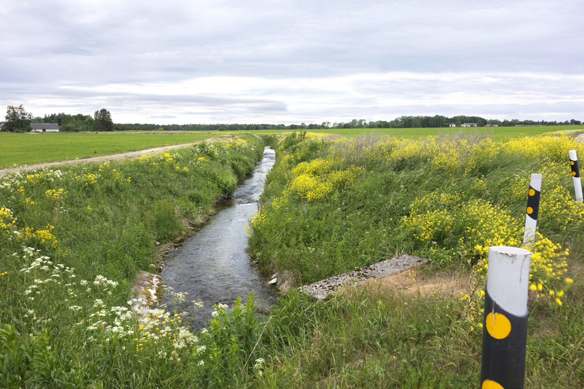
We carry on. At Seidla manor we turn left – to Seidla–Järva-Jaani road. After one kilometre, before the sign marking the beginning of Ageri, a bridge called Nutusild (weeping bridge) takes us across a ditch where Jägala river flows.
In the course of melioration the bridge was replaced by a culvert. The locals call the river forced into a ditch the ditch of the weeping bridge.
In olden days when peasants went to work at Seidla manor, an overseer often stood by the bridge and beat the poor souls who went past. Many tears have been shed at that bridge. ERA II 219,545/(17)
There is a weeping bridge in Ageri village in Albu parish. A war was once raging. All men in the village had been killed. The women found a man’s footprint on the bridge. They wept until a ditch was formed. That’s how the bridge became to be called a weeping bridge. (www.kirmus.ee)


We keep left on the crossroads and almost at once we reach Ageri manor or, to be precise, the site of the former manor amongst trees in the overgrown park. We walked 2.5 km from Seidla to Ageri manor.
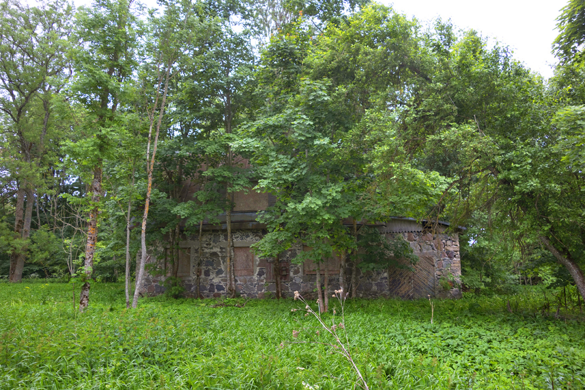

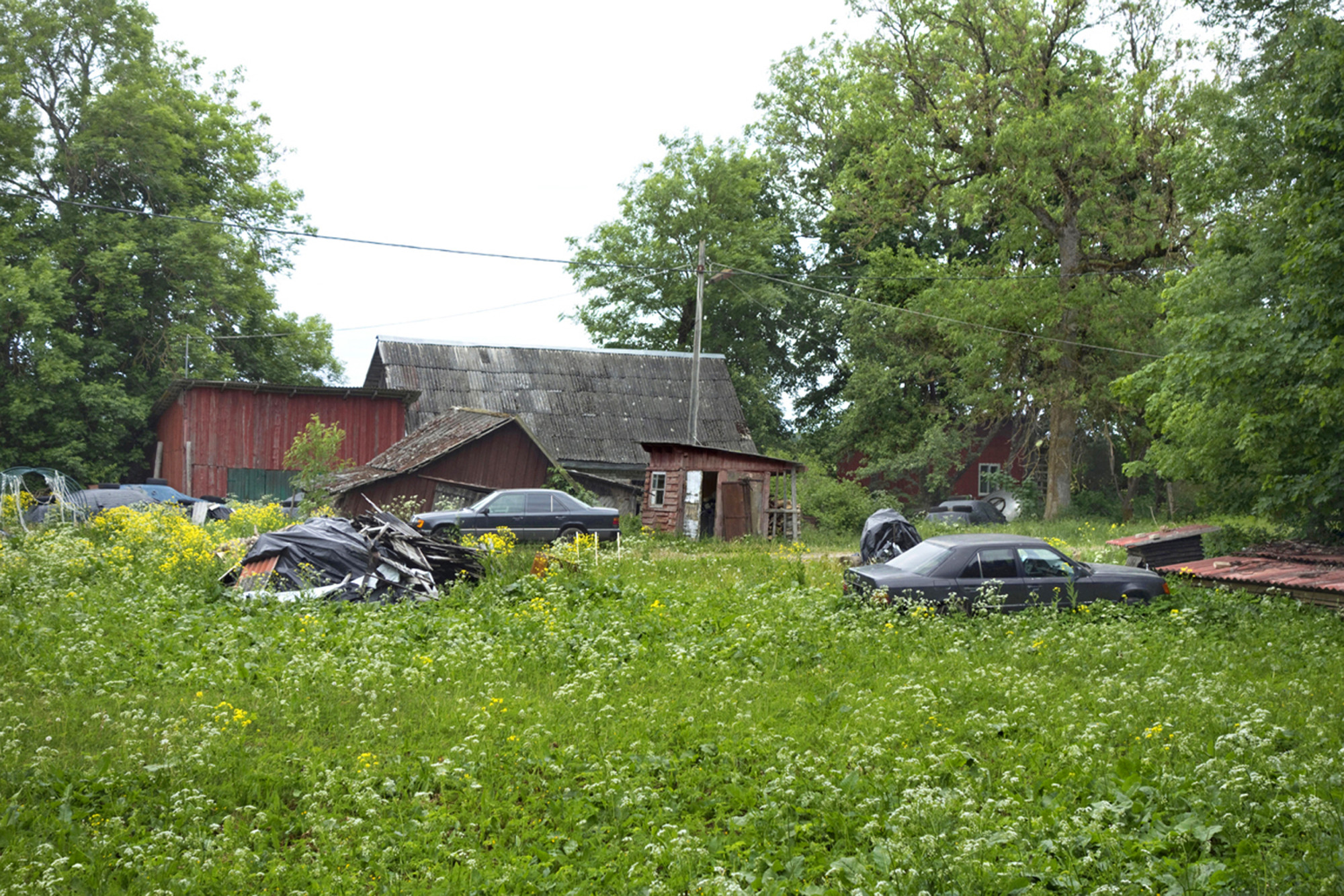
Ageri manor in Järva-Madise parish (in German first Haggers, later Aggers) belonged to knights; it was first mentioned in 1553.
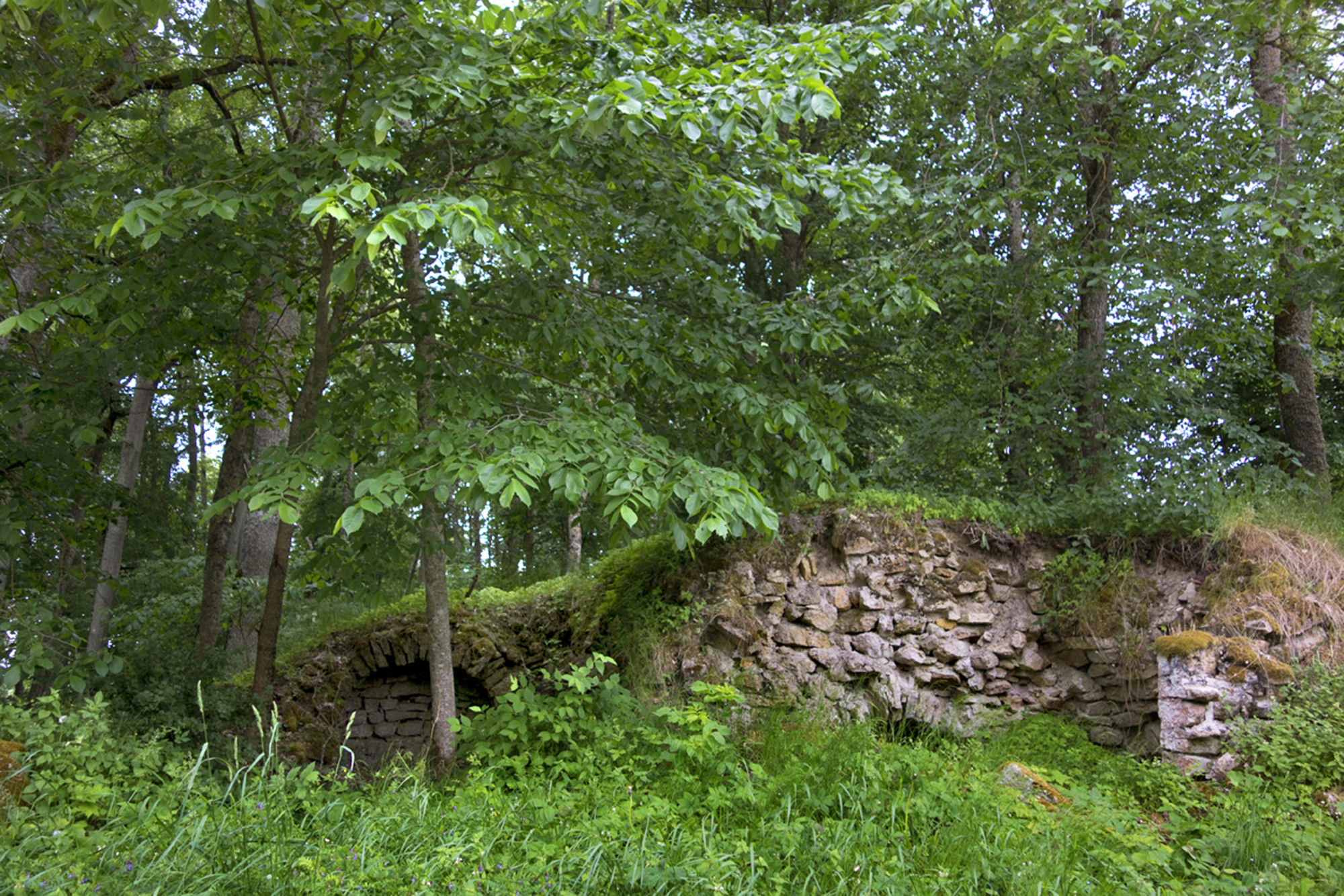
Ageri manor park and buildings are objects of heritage culture. Stables and part of the steward’s house remain. The stone structure of Ageri dairy stands near the park, built around 1939. A three-part vaulted cellar and a low stone wall have survived by the road.
There is, allegedly, a treasure trove in the Ageri manor pond. A man saw in a dream that he should go and get the trove out at midnight. The man took his brother with him. They got the box almost to the surface when he was told to sacrifice his brother’s soul, only that way could he get the treasure. The man looked at his brother, then at the trove, and decided not to give away his brother’s soul, the box thus sank back to the bottom.
Ageri village (Ackers) was first mentioned in 1447.
Ageri village school was established in 1865. In 1900 it had three classes in a house seen in the picture. In 1937 the small school was closed and local children had to go to Seidla where a parish school with 6 classes was operating at the manor already in 1921. The state sold the former Ageri school and 3.5 ha of land to a private individual. That did not last long as the new soviet authorities did not favour private ownership – he was deported to Siberia in 1949, and the house was taken over by the local collective farm that dealt in honey. However, that soon declined, and finally the collective farms declined as well. Things have come full circle. The former schoolhouse is once again in private hands, and the school in Seidla followed suit in 1973. The children – not that many – can use the Ahula kindergarten-primary school and Aravete secondary school. (Järva Teataja, nr. 141, 4. detsember 2014.)
From Ageri to Roosna-Alliku
At the end of Ageri manor park we turn right. Buildings of old grain dryers on the right.
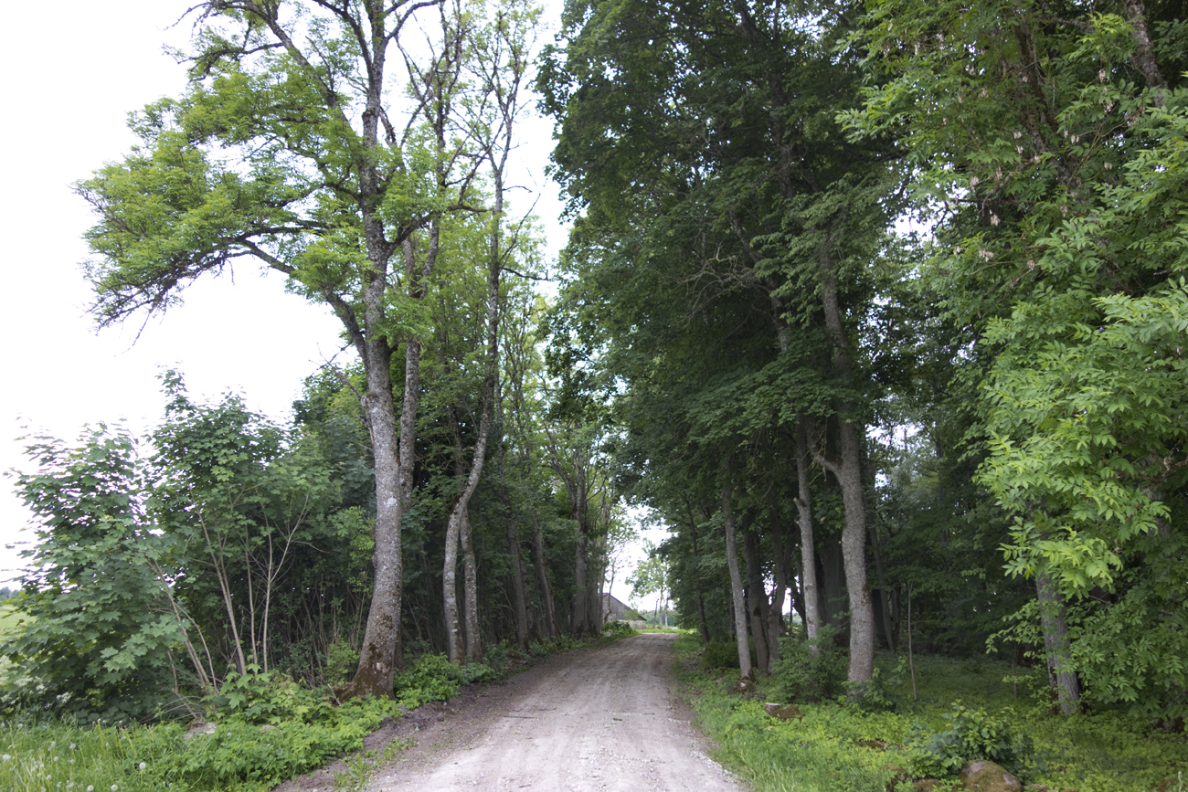


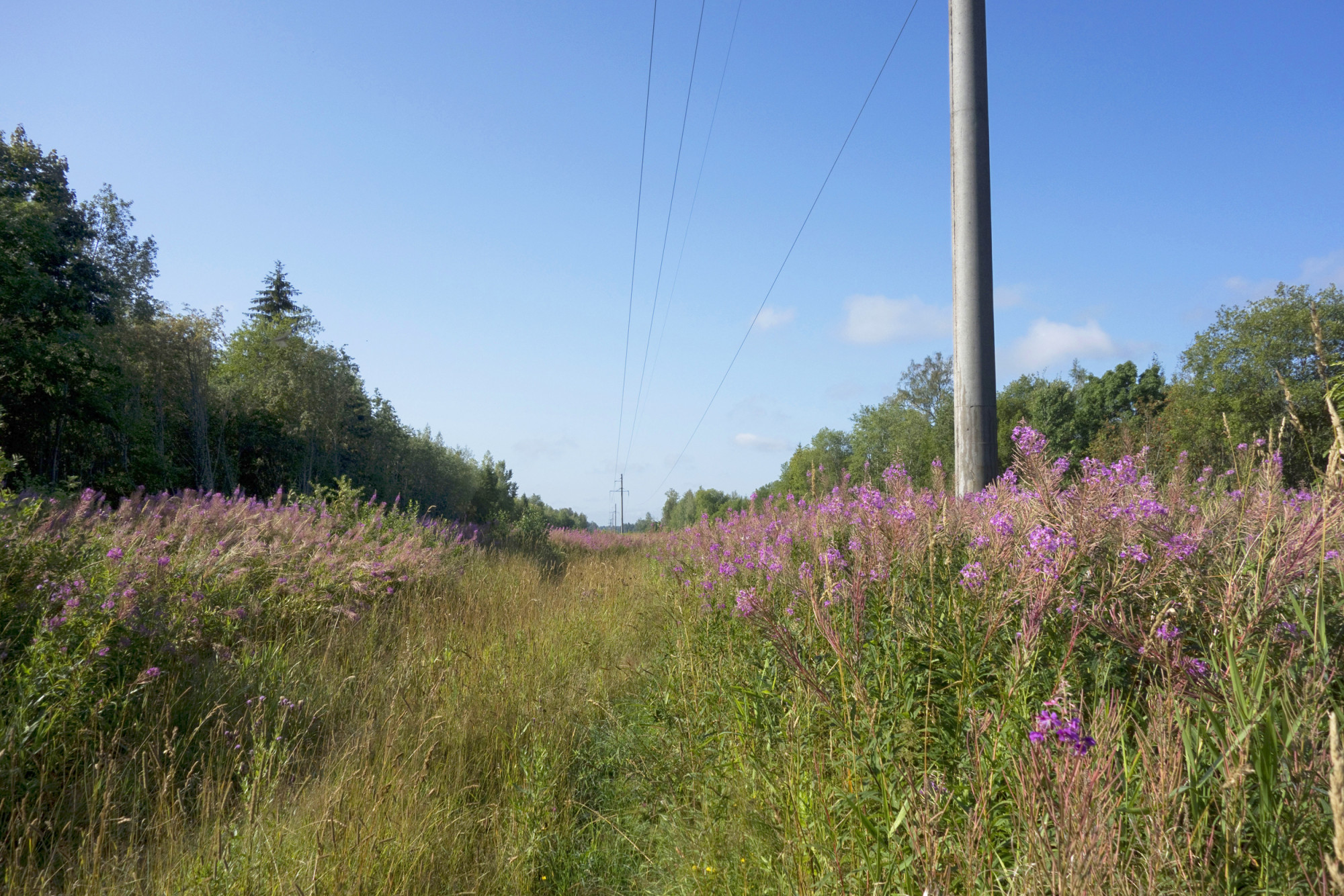
The road runs between fields and after 1 km we see Hoogaste farm on the left, where we turn right again and proceed along the forest edge to high-voltage lines. We walk under the lines in tall grass for slightly less than 1 km.
We then turn left, towards the gates of Hindreku farm. The path turns right at the farm.
.jpg)

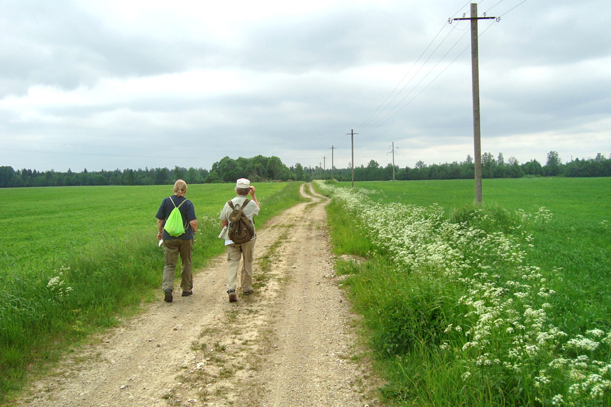
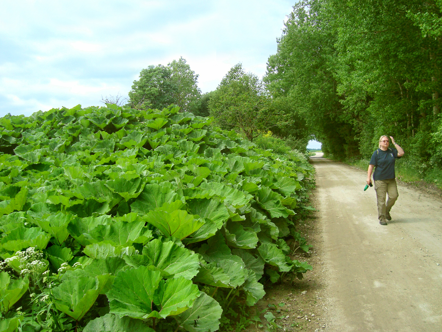
Once at the crossroad, we turn left on the gravel road. The road is lined by butterbur plant (Petasites hybridus) with decorative lush leaves. The plant was probably introduced in Estonia during the Middle Ages, the potion made of its roots was supposed to help against plague.
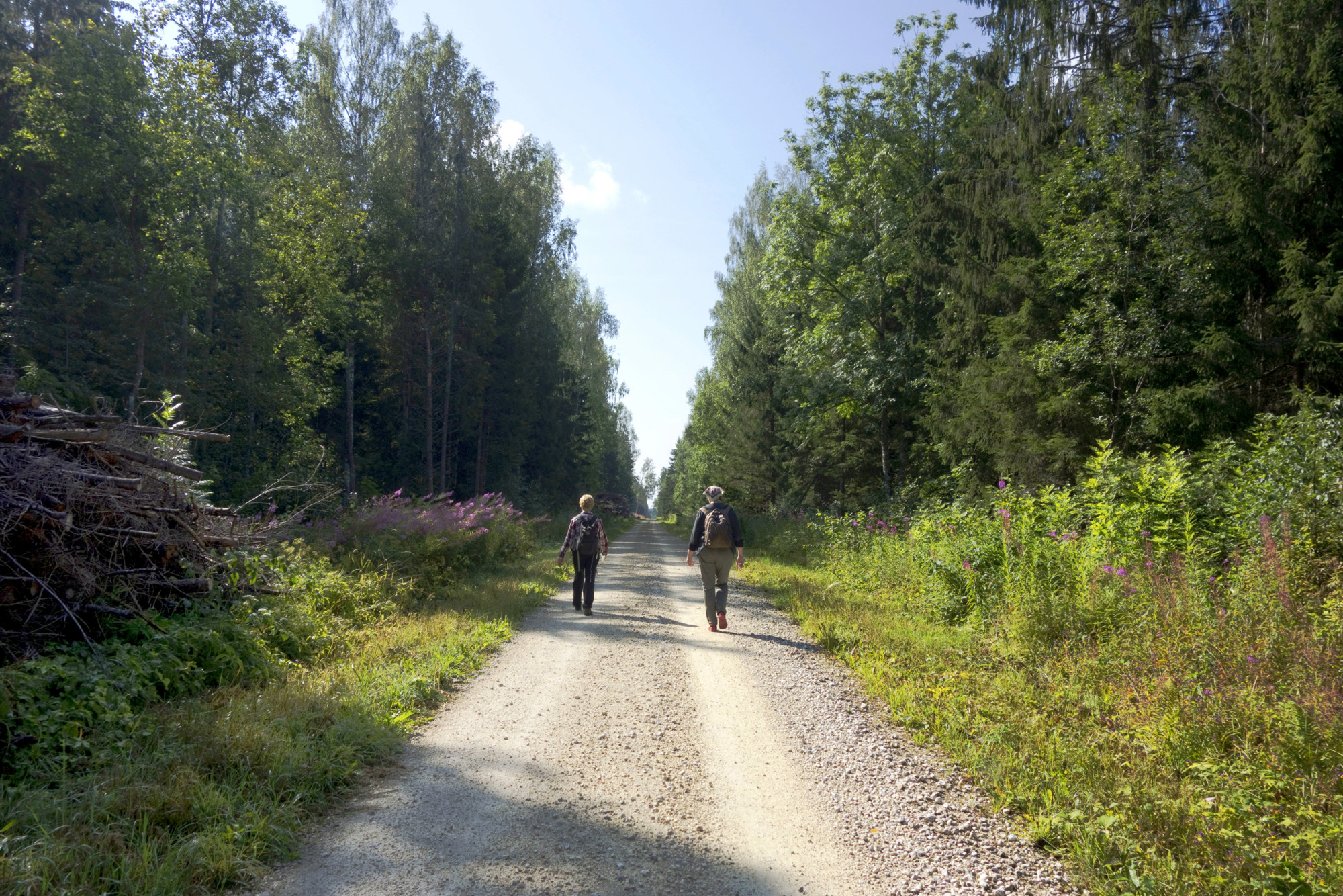
The next leg of the journey is 4 km of lovely walking along a forest path. In less than half an hour we come to a crossroad where we turn right. Kändliku farms can be seen on both sides of the path before we get to the road.
On the tarmac road (Roosna-Alliku–Järva-Jaani road) we turn right and after 2 km Roosna-Alliku comes into view. Roosna-Alliku has a shop!
We walked a total of 11.3 km.
Daila Aas, August 2019
Sources
https://galerii.kirmus.ee/koobas/index.php?module=300&op=2&id=14838&jrk=120
https://galerii.kirmus.ee/koobas/index.php?module=300&op=2&id=14829&jrk=122
https://infoleht.keskkonnainfo.ee/default.aspx?comp=objresult=parandobj&obj_id=1500359457