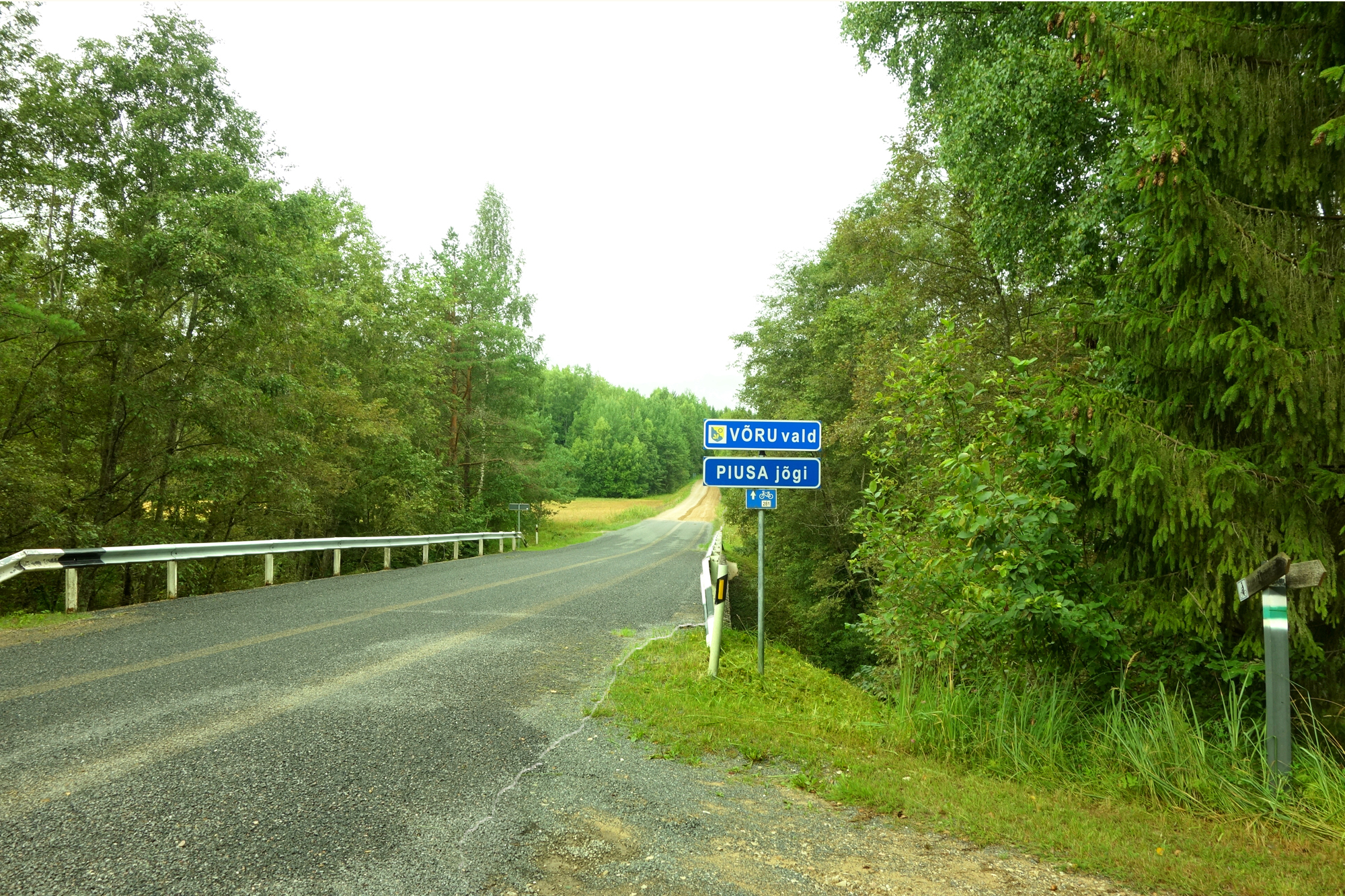
From Väiko-Härmä to Vana-Vastseliina castle
We start the last journey of our pilgrimage on the lands of the former Väiko-Härmä mill at the Piusa Primeval Valley Holiday Complex. 12 km separates us from our destination, Vana-Vastseliina castle.
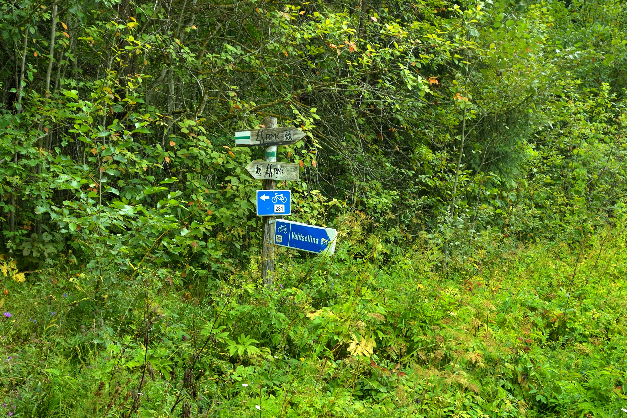
We walk from the State Forest Management (RMK) path signpost down towards Tuura bridge, after the bridge we turn left on the road. After a few hundred metres, a smaller road turns right. (A mailbox and a poster of the disc golf park show the way.) We now walk on along the RKM path.
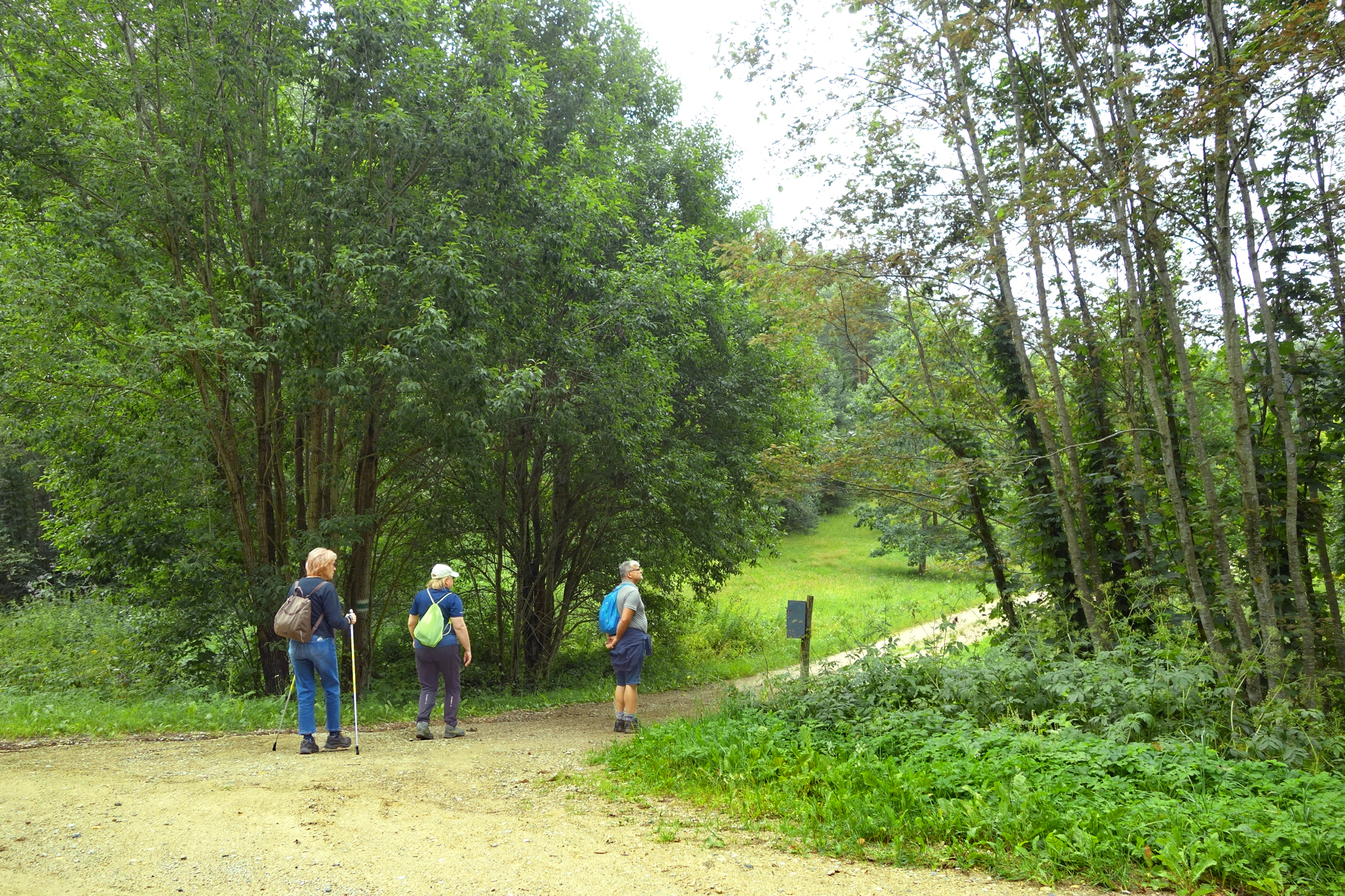
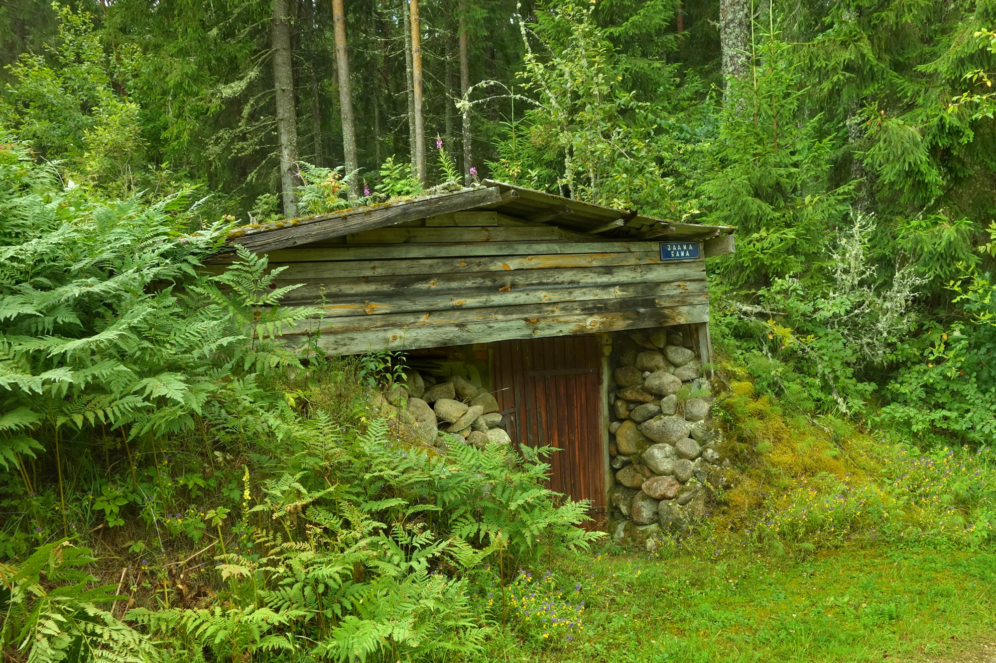
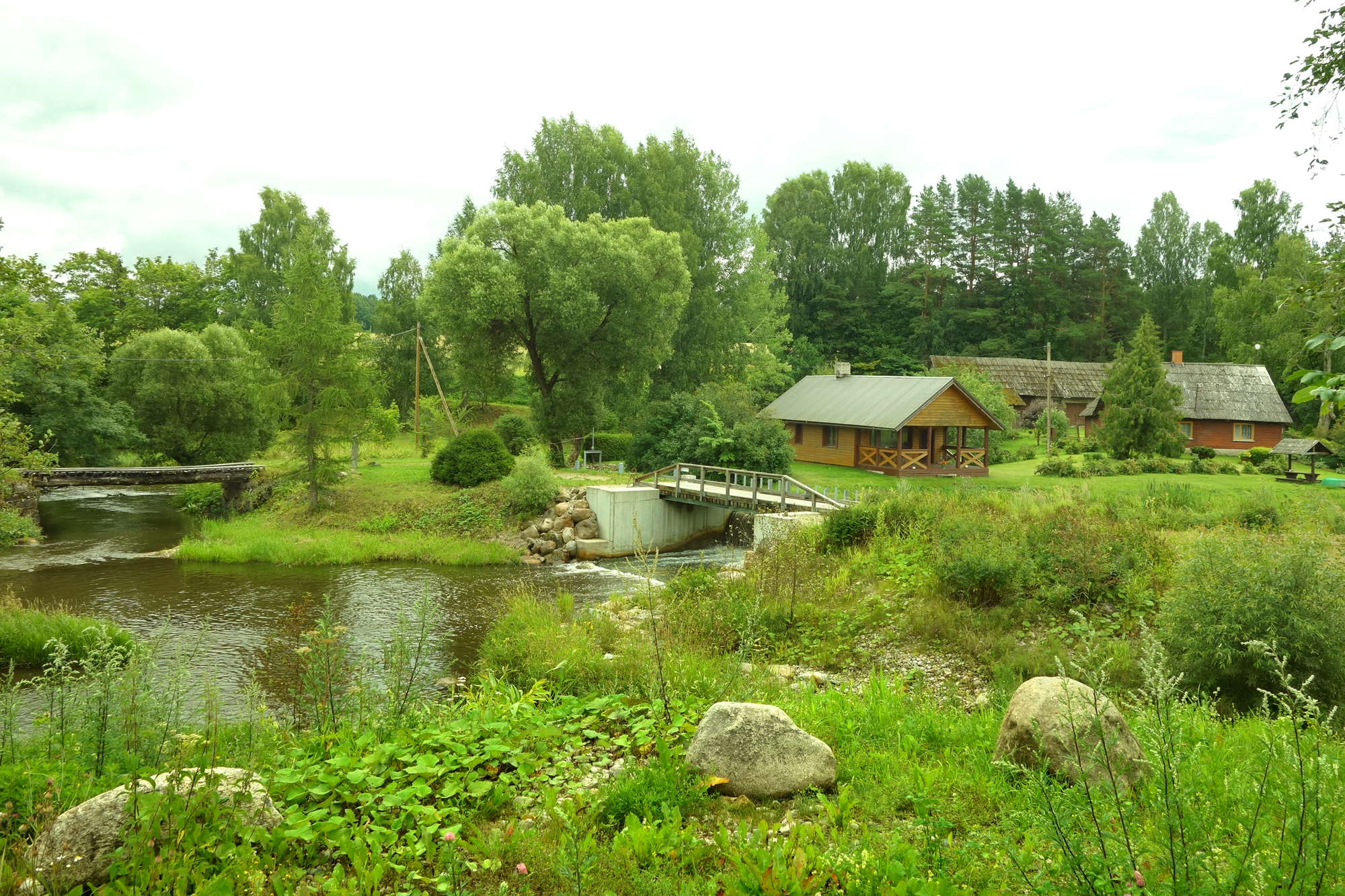
Quite soon we find ourselves at Jõksi bus stop in Jõksi village. There is of course no bus, the eye-catching „bus stop” was built by people at Mäeotsa farm. Accommodation at Mäeotsa is available in warmer weather – but always with booking in advance.
.jpg)
Two renovated barns can take 8 people, there is a smoke sauna, a hot tub and a barrel sauna on the shore, a well-supplied outdoor kitchen for cooking. Breakfast can be arranged.
Contacts: Mäeotsa farm, Jõksi village, Setomaa rural municipality. Tarmo Novikov, Tel. 5182146; Jaana Novikov, Tel. 53302992, jaananovikov13@gmail.com
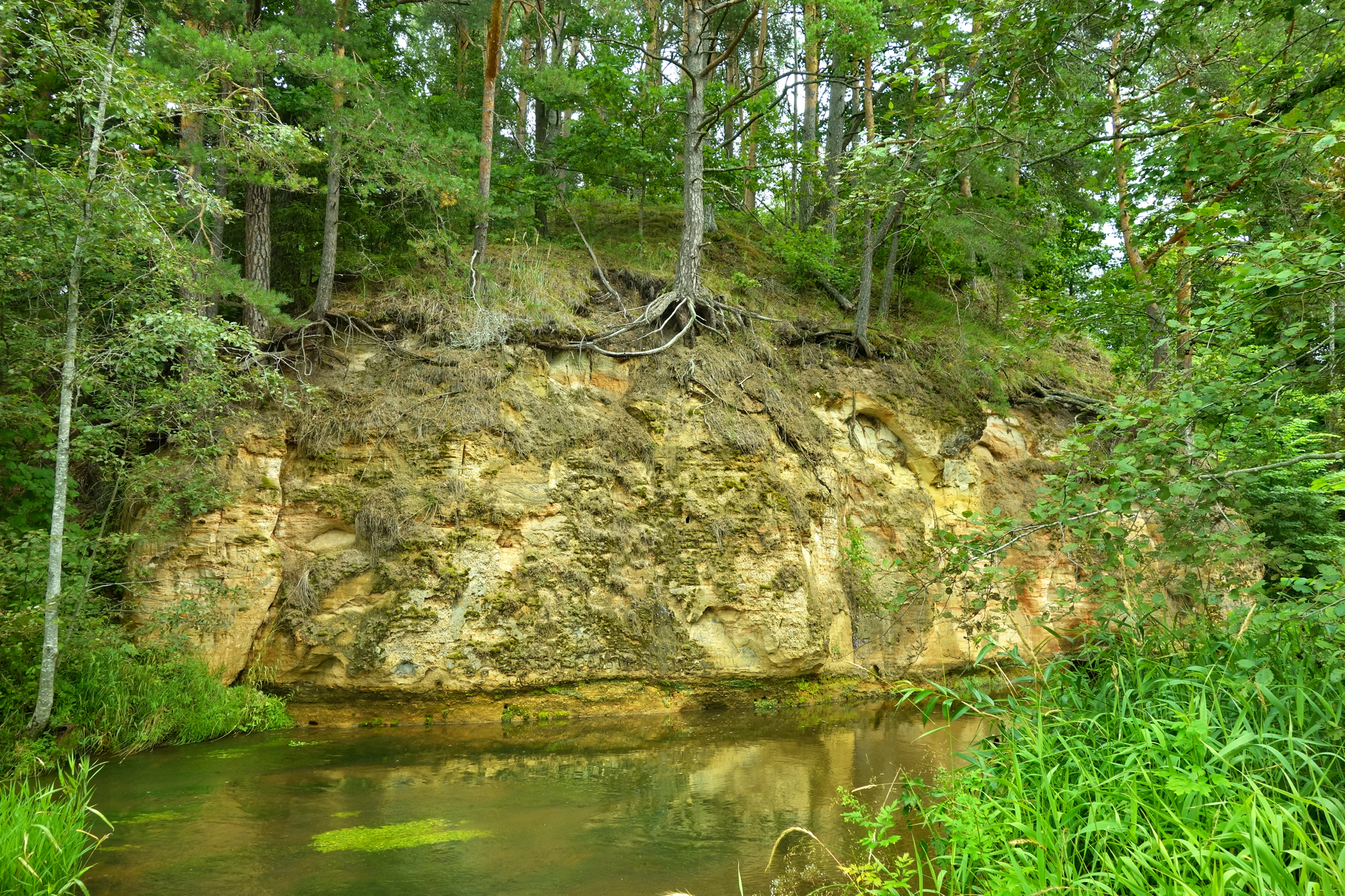
We carry on. In about 250 m we reach the Jõksi wall, 20 m long and up to 8 m high steep slope that descends straight into water.

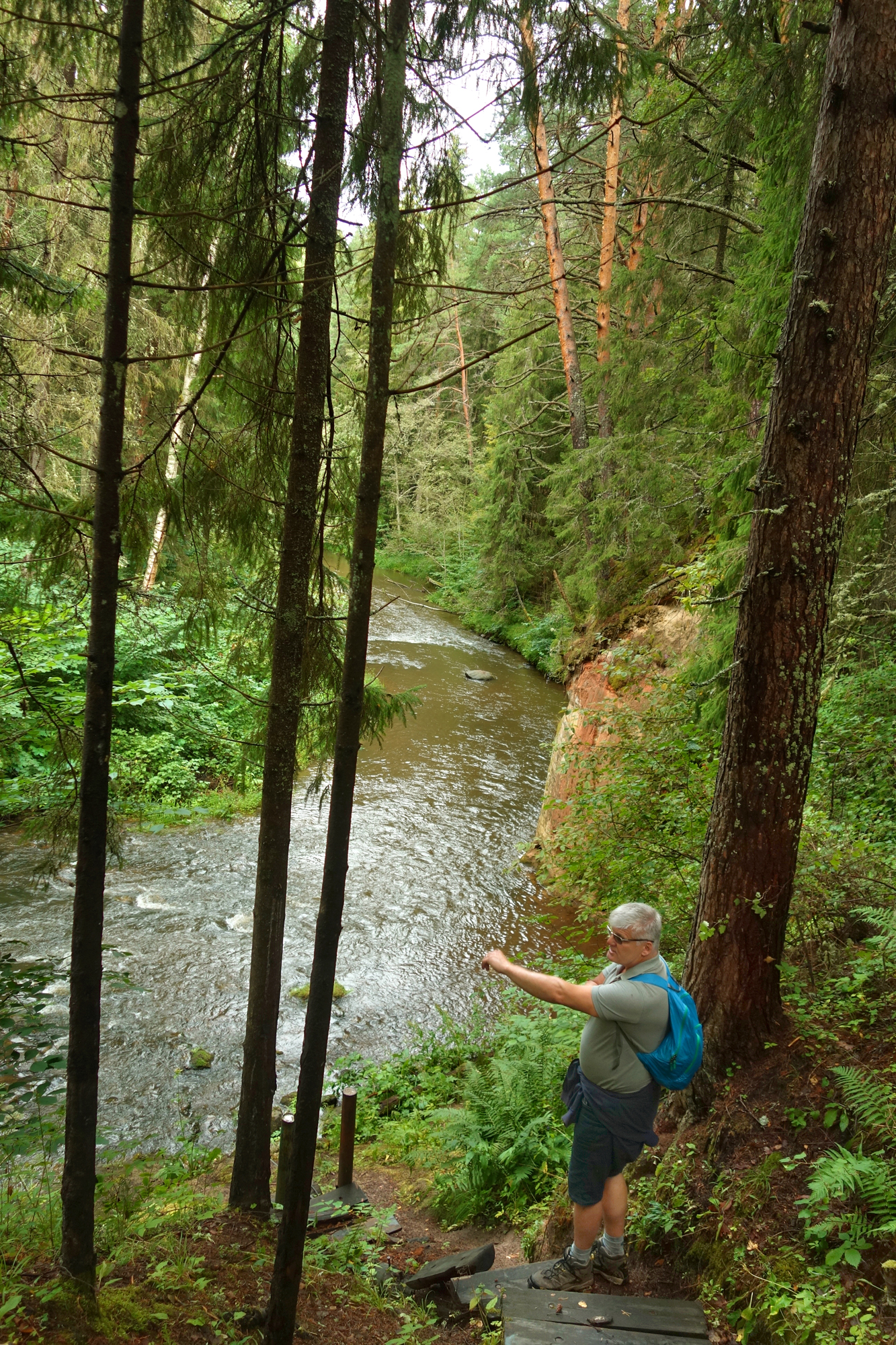
A few hundred m on, and we are at Kalmetumäe, in Võru language Kalmõtumägi or Kääpamägi, another Devon-era memorial at Piusa river. 400 million years ago it was known for its placodermi fish. Half of their body was covered with articulated armoured plates, the rest with scales, or was naked.
Water has burrowed two caves into the Kalmõtumäe wall. These offered shelter to people during the wars. The slope of Kalmõtumäe valley supposedly served as a cemetery during the Great Northern War (1700–1721). Kalmetumägi as an outcrop and the caves are listed as objects of primeval nature.
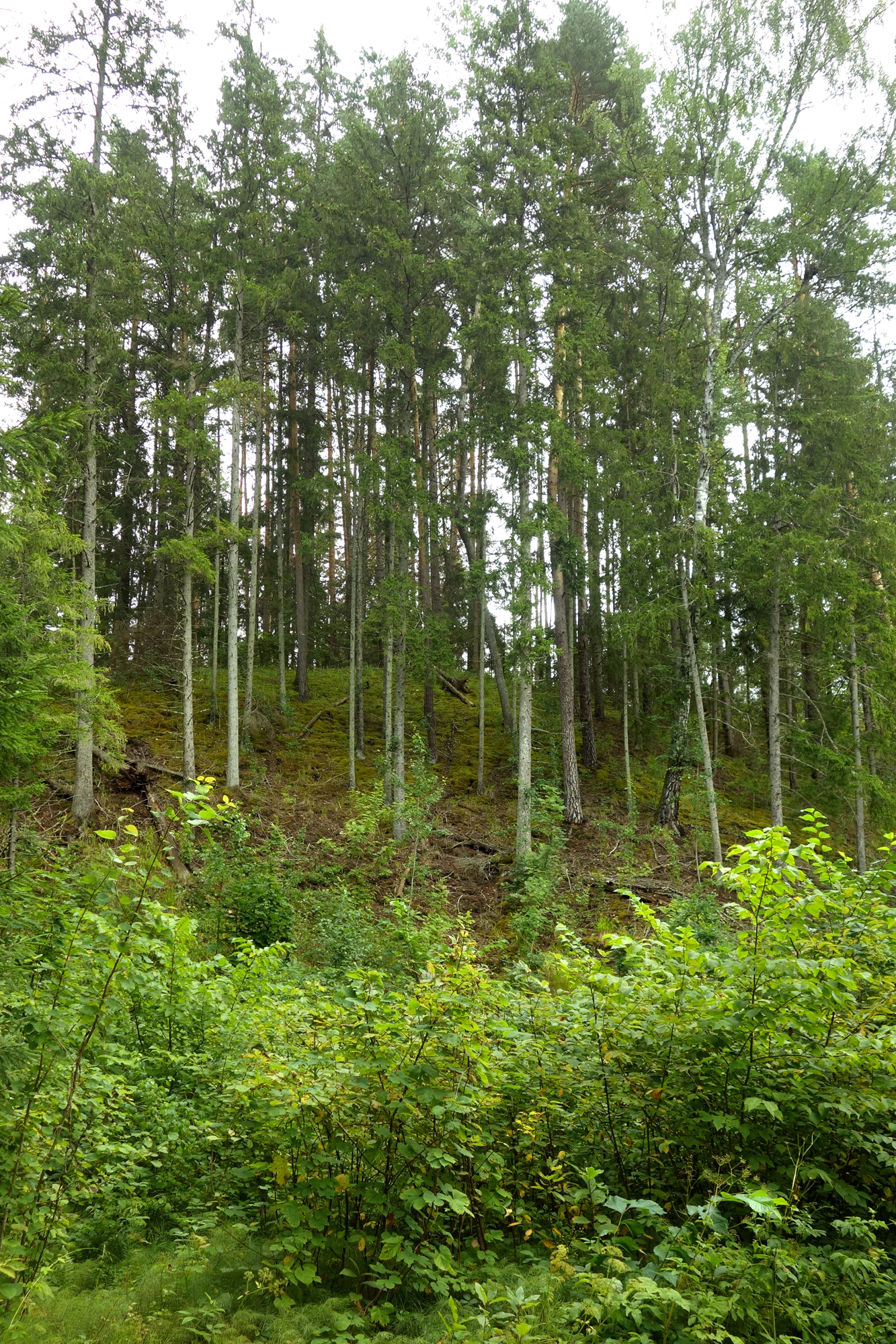
Across the river opposite the Kalmõtumüür we can see a hill, called Päevapööramise or Pääväpüürdmisemägi in Võru language or Hobuseselja Hill. With its steep slopes and narrow crest the hill rises towards the sky like a wall. The esker or ridge is 20 m high. Getting up there is not for the feeble, and balancing yourself on the narrow ridge can feel like trying some tightrope walking. Such impressions date from early spring a few years ago when together with Lagle Parek we clambered up the hill slope, clutching the trees for support. It is easier in summer, and well worth the effort.
There used to be an ancient fort on Päevapööramise Hill. The finds unearthed at archaeological excavations mainly date from the 5th–7th century, i.e. the Middle Iron Age, although the hill was probably fortified a thousand years or so earlier.
According to legends, the hill was regarded as a cult place, where sacrifices were made to the sun during solstice. Numerous legends are connected with the location.
Once upon a time three warriors and a horse without a rider were moving down to the river valley, called Alo, Lemmetõiv and Vana-Kaspar. They had survived the battle and were escaping from the pursuers. Up on the high shore, the seriously wounded Kaspar murmured: „My eyes can see Piusa after all... And death rides after us in the empty and bloody saddle.”
Alo kept guard while the others slept. Mysterious voices and sounds could be heard. Suddenly the riderless horse whinnied towards the river, and Alo was worried, Lemmetõiv muttered something in his sleep but Kaspar did not move. Alo touched him and realised he was gone. In the morning there was no trace of the strange horse who had followed them.
From that time onwards, invisible horses haunt the water meadows of Piusa river. True enough, a traveller or two have seen the shape of a horse in grey fog.
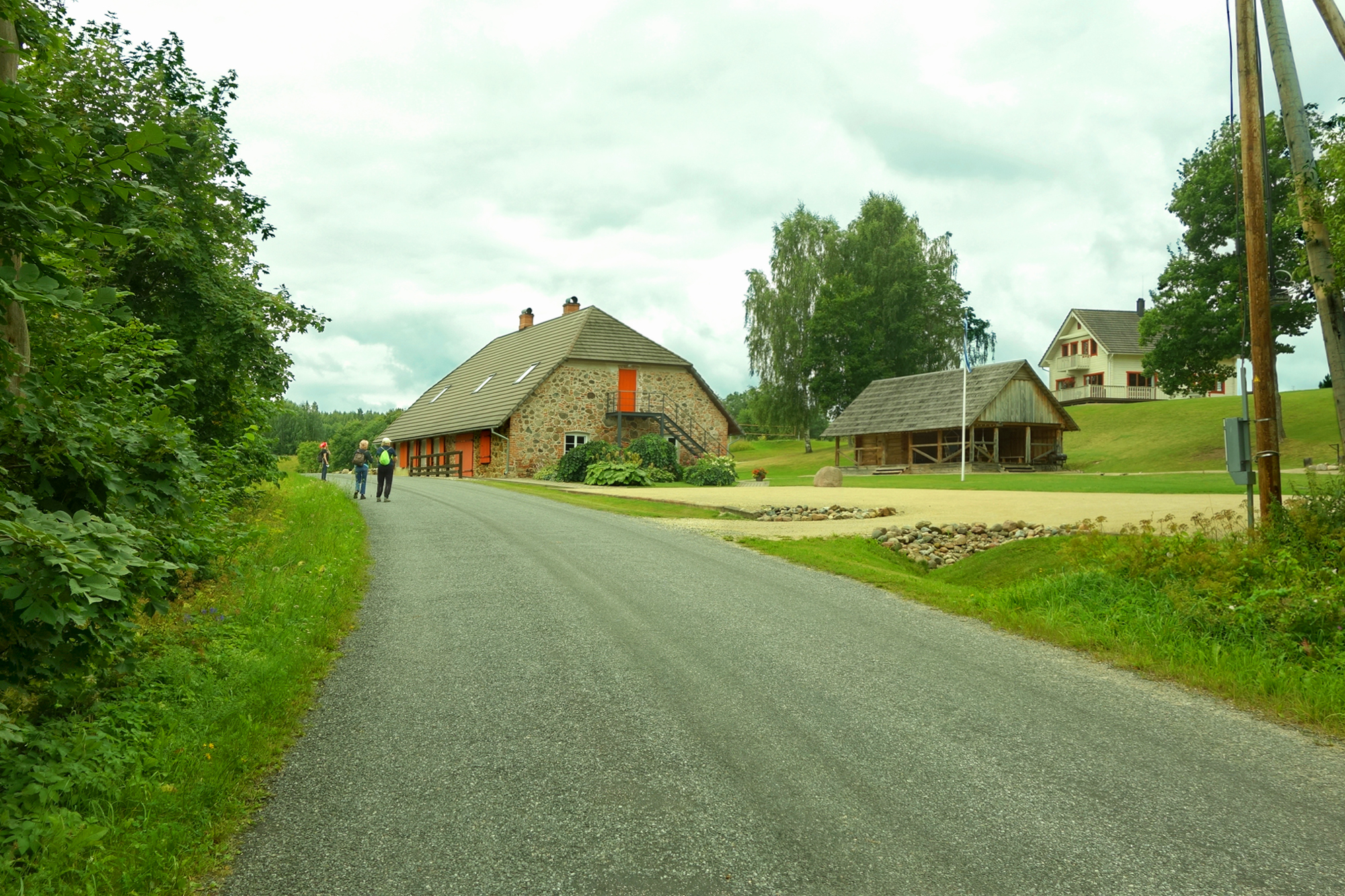
After 800 m the road forks, we turn right and walk to Meremehe farm. A huge stone stands in front of the house.
.jpg)
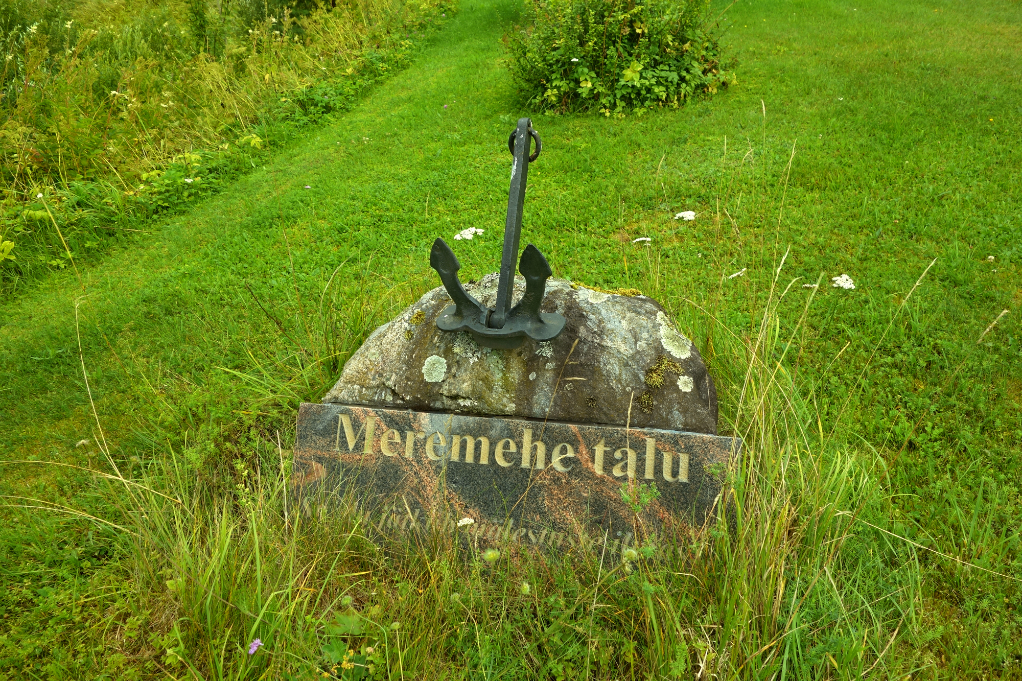
Here is also the site of the former Tiisleri mill, and Kurjamüür (wall of evil) on the other side of Piusa river. Allegedly, a man had pushed his neighbour down that wall in a jealous rage. The neighbour died as a result, and hence the wall got its name.

We walk on towards Makõ (Make) wall. Kauri (Hargi) farm, Savioja mill dyke, Savioja and Pärgi walls by the road. Piusa has indeed numerous mills and walls.
.jpg)
Makõ or Möldre wall is the grandest on today's walk. The slope is 21 m high and the outcrop 16 m. It is possible to put up a tent here and build a bonfire.

Makõ mill on the other side of the river comes into view soon. We cross the stone bridge and take a closer look at the mill ruins.
Makõ or Möldre mill was built by Hendrik Make on the ruins of the foundry dyke in 1883. At the end of the 18th century, Vastseliina manor operated a copper foundry, distillery, a factory producing planks and another of wool.
.jpg)
We are now on asphalt road with the river below left. We keep left at the crossroads. Soon we can see (at Möldri bus stop) Vasekoja Holiday Home. Information about accommodation at Tel. +372 53 444 964.
We keep walking, pass Kelbä bus stop, soon we turn off the road to the river – a path takes us to the fields.


Before we reach the farmland we turn right along the road. This is Metsa trail, which again joins the RMK path. Another mill – Kelba. (You can cross the bridge at the mill to Kunnmäe, with nice views of Vastseliina castle.)
Moving along Piusa shores we come to Paabu wall, 25 m long and with up to 8 m high outcrop. Paabu wall allegedly got its name after a farmhand called Paabu who drowned here on a hot summer day.
.jpg)

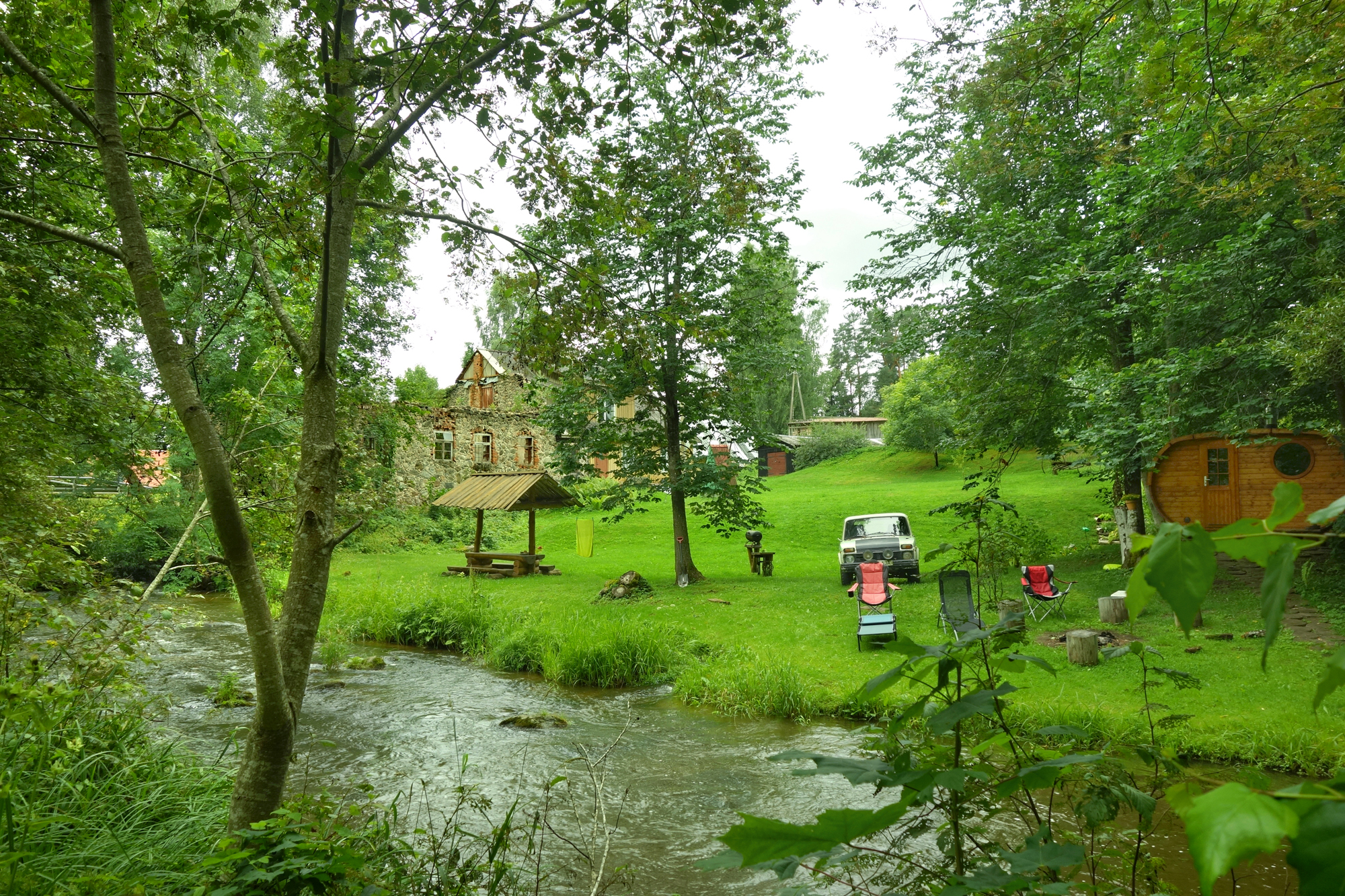
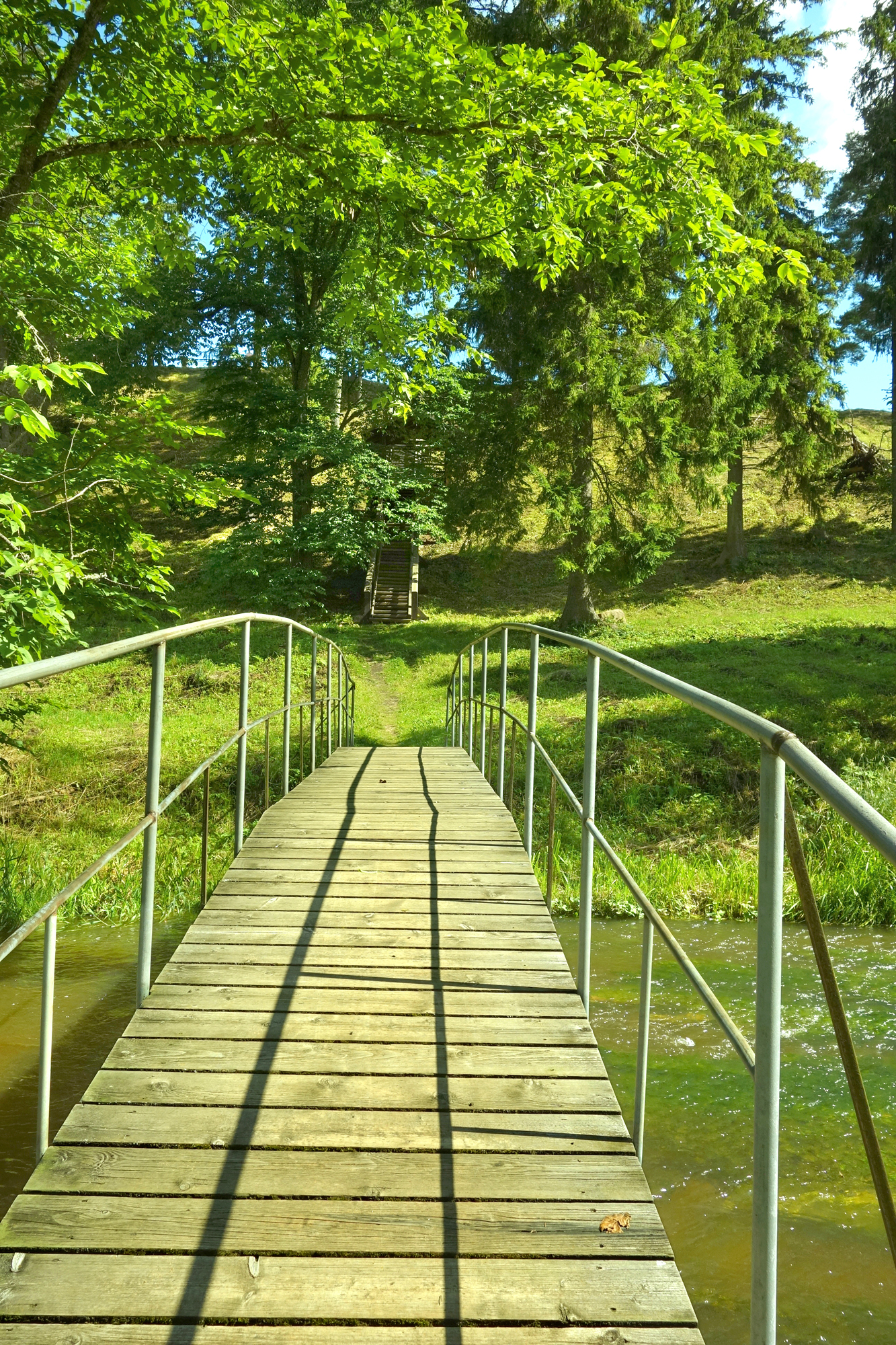
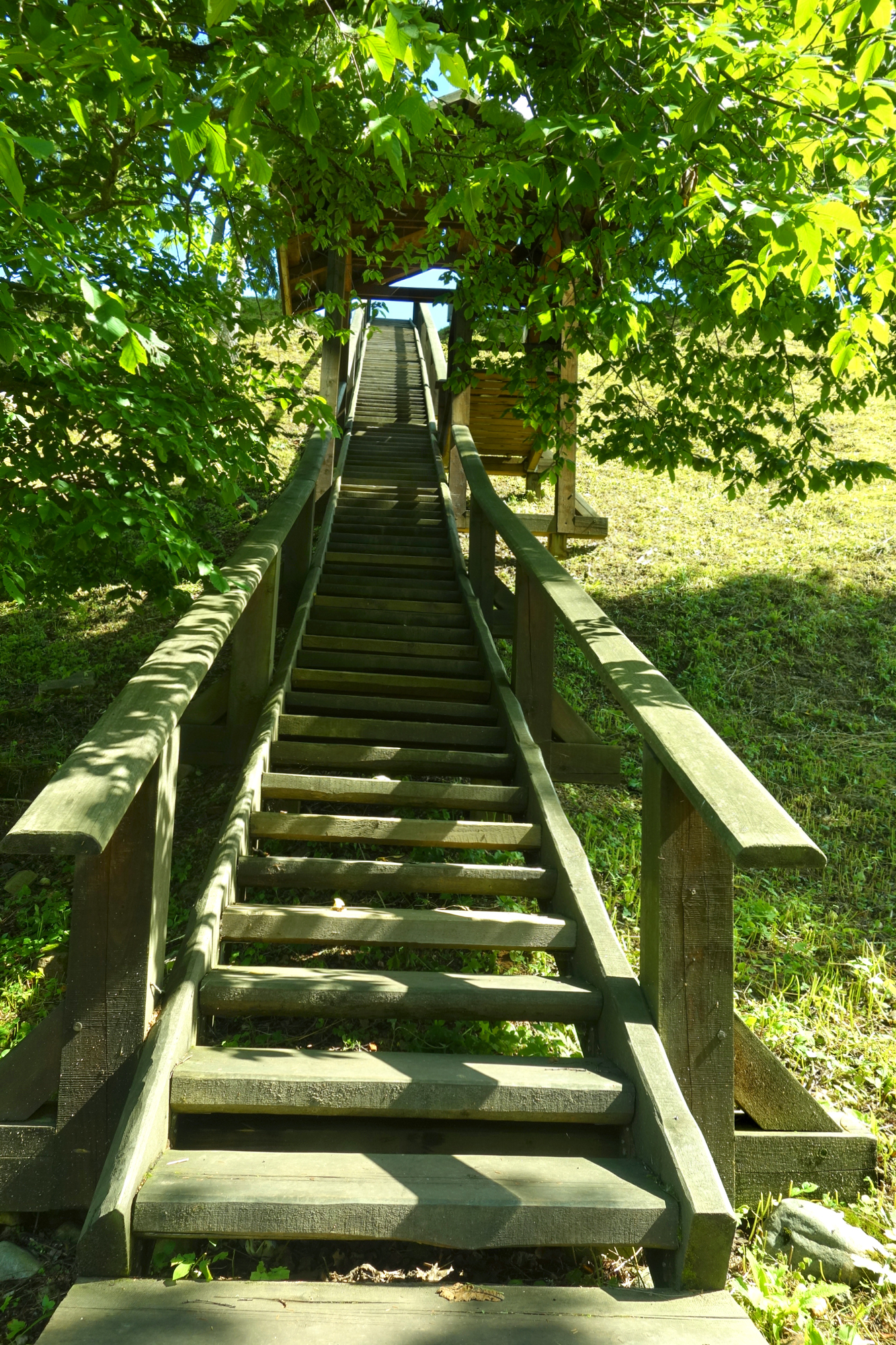
Soon the path enters the forest, briefly, and then we find ourselves in Vastseliina manor park. The park was established in the 1830s by the then owner of the manor, Guido Reinhold von Liphart. In order to get to Vastseliina castle, we need to cross the river behind the bandstand and up the wooden steps.
We have arrived. The walk lasted for about 3 hours.
Daila Aas, August 2022
Accommodation for pilgrims:
Please book at least one week ahead!
– Mäeotsa farm. Jõksi village, Setomaa rural municipality, Võrumaa.
Tarmo Novikov, Tel. +372 5182146; Jaana Novikov, Tel. +372 5330 2992, jaananovikov13@gmail.com
– Vasekoja Holiday Home. Möldri village, Vastseliina rural municipality, Võrumaa. Tel. +372 5344 4964, +372 503 8056; info@vasekoja.ee https://www.vasekoja.ee/puhkemaja-majutus-setomaal-vorumaal/
Sources
https://et.wikipedia.org/wiki/Piusa_%C3%9Crgoru_Puhkekompleks
https://infoleht.eelis.ee/default.aspx?state=8;68547593;est;eelisand;;&comp=objresult=yrg&obj_id=-524208504
https://infoleht.keskkonnainfo.ee/default.aspx?comp=objresult=yrg&obj_id=1039078403
https://register.muinas.ee/public.php?menuID=monument&action=view&id=13595
https://infoleht.keskkonnainfo.ee/default.aspx?state=7;-228847599;eng;eelisand;;&comp=objresult=yrg&obj_id=1848550478
https://www.vastseliina.ee/linnus/images/dokumendid/piusa_est.pdf