 0
0From Linnamäe hydroelectric station to Jõelähtme church
TREKKING THROUGH ANCIENT VILLAGES OF REBALA HERITAGE RESERVE
I possible itinerary
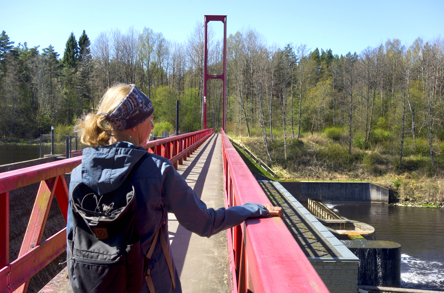
We cross the Linnamäe hydroelectric station dam and continue along the right-hand forest path, which leads to the sandy area under the high-voltage lines.

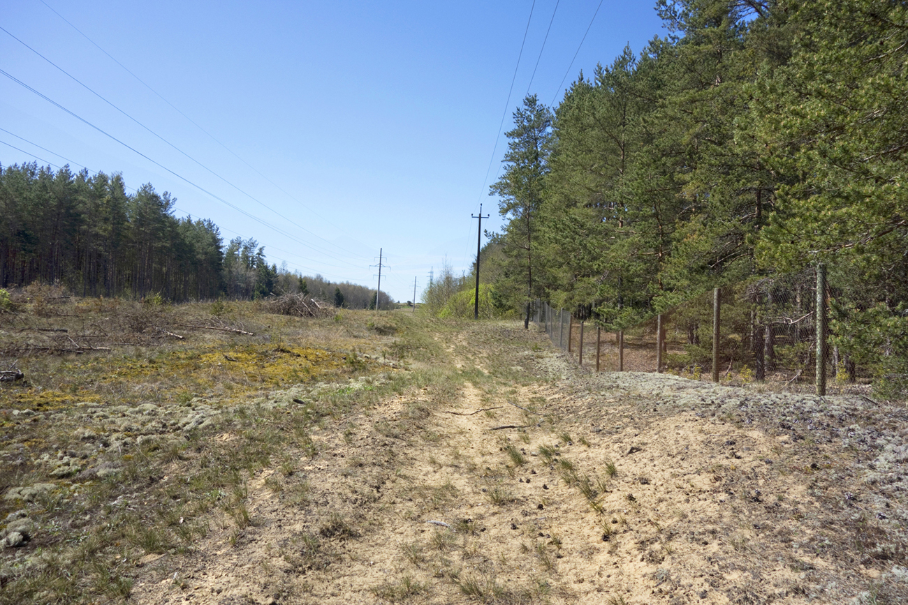
We walk along the line (it is surrounded by a chain link fence) until a somewhat wider path, and turn right. We have reached the new houses of Jõesuu village.


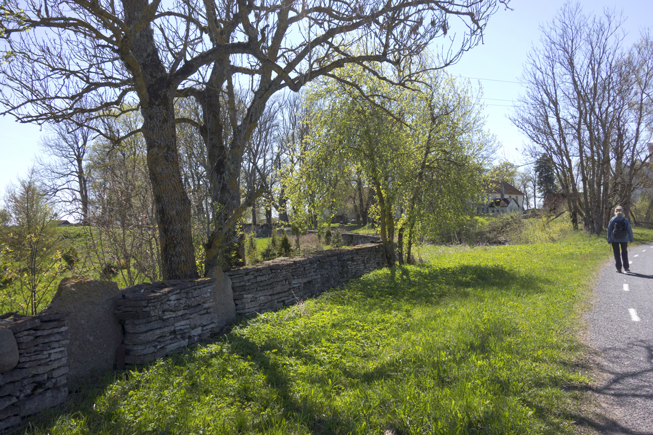
At the old barn of Klaukse farm we turn left – to Mäeveere road.
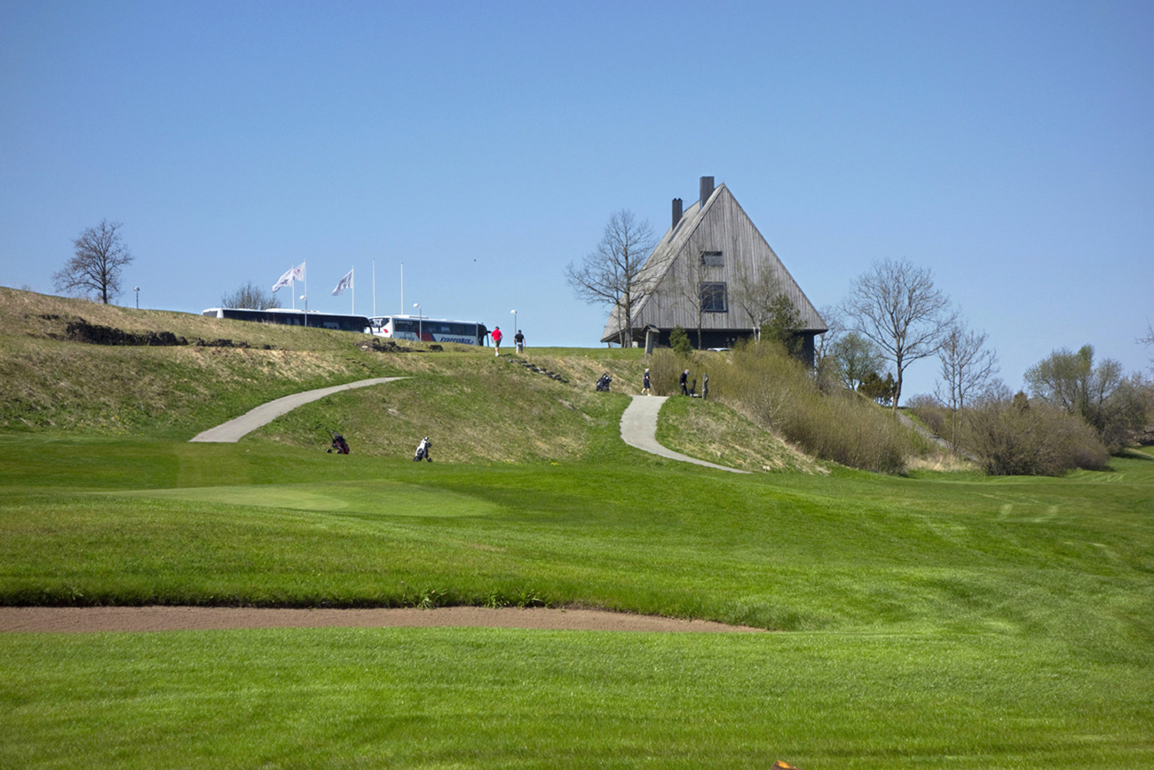
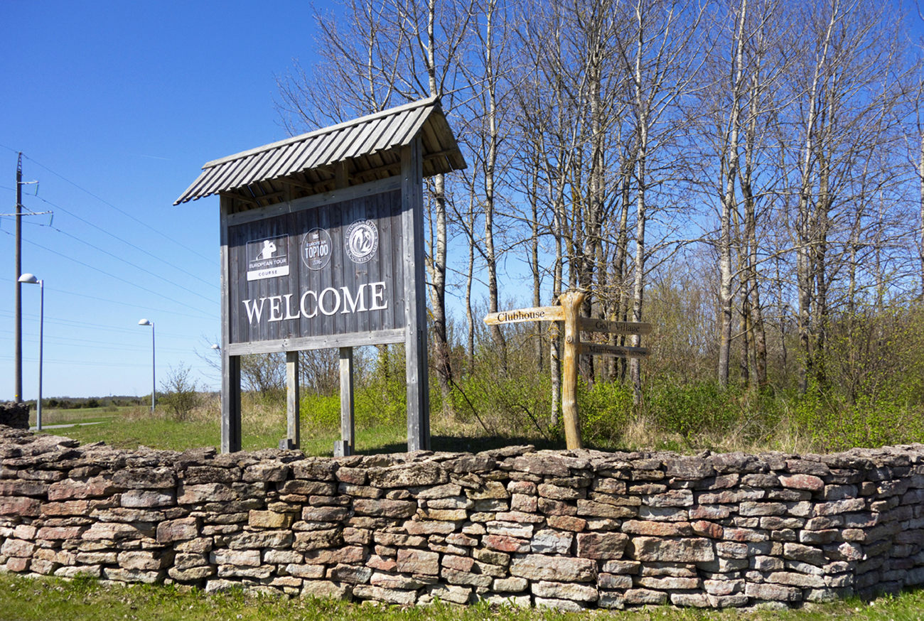
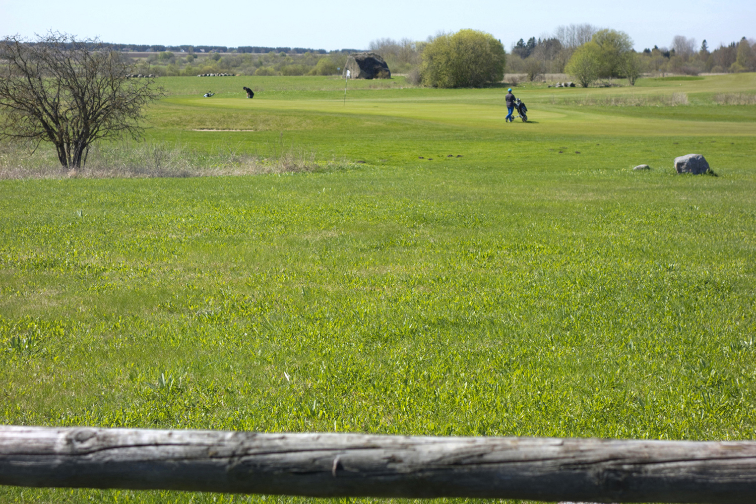
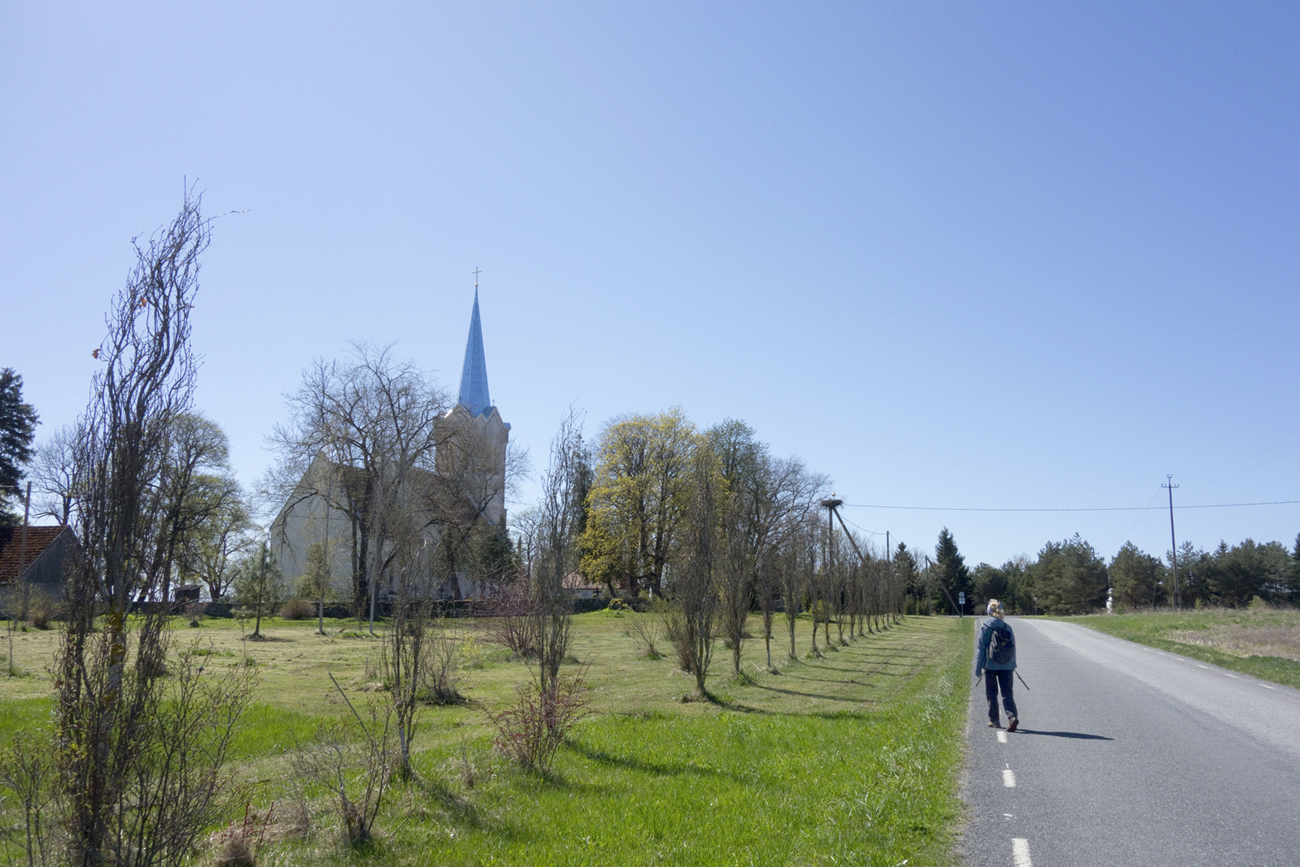
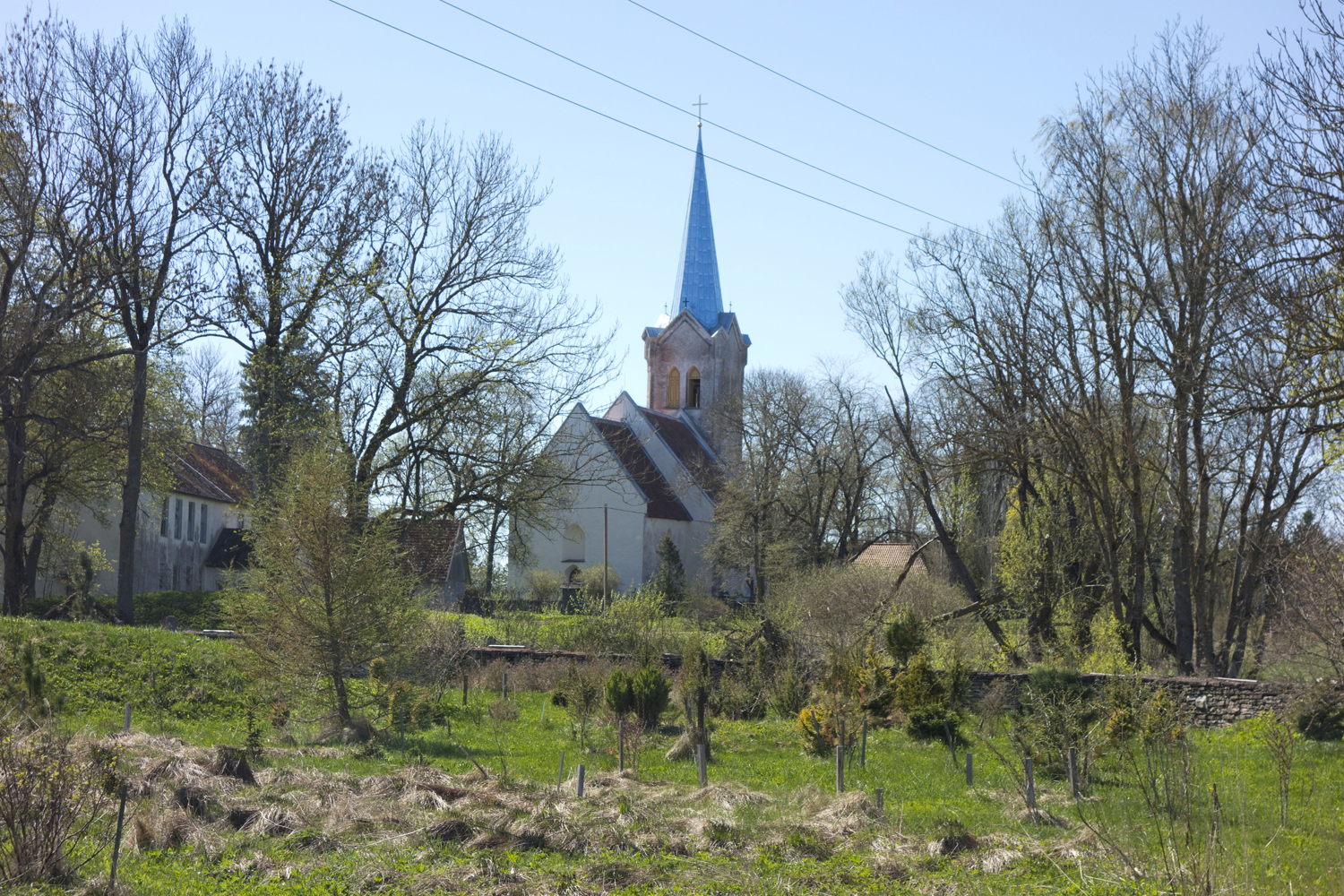
At the next crossroad there is an advertisement of the Golf Club and the road on the right (Klubi tee) takes you straight to the Club. We carry on along the left Mäeveere road. Once we pass the Club, the Jõelähtme church tower is clearly visible.
On the right stretches Ristikangrumägi – a field with a circular ground plan of stone-cist graves from the first millennium, diameter about 15 m. The graves were first investigated by a Baltic German archaeologist Adolf Friedenthal in the 1920s. Between 1970 and 1980, archaeologist Vello Lõugas and researcher of local places Oskar Raudmets mapped the field of graves in more detail, and discovered more graves in the process. The last time the graves were mapped was just before the golf course was established.
Thus this ancient grave field is today used as a golf course.
Not far away in the nearby hayfield stands the Ellandvahe stone, the eight largest boulder in Estonia – the giant is 5.9 m high with a perimeter of 31.1 m.
When people reached the Estonian territory after the Ice Age, the boulders were already here. Estonia is remarkably rich in boulders. According to recent survey, we have about 150 huge boulders. No wonder then that boulder-related folk-tales and beliefs occupy such a significant place in our traditional culture.
Talismaa and Mesiniku farms stand on the left of the road.
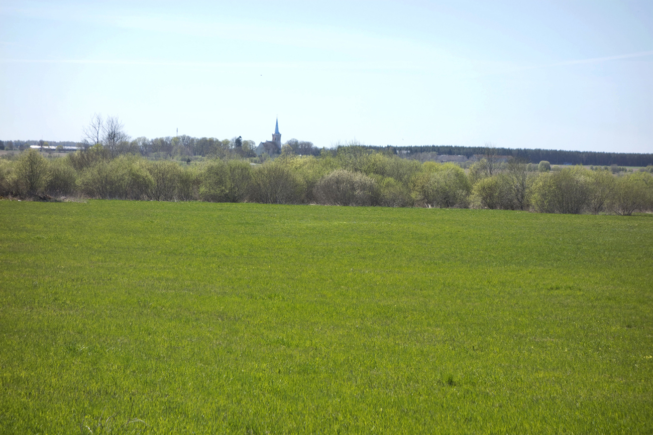
The path is taking us slightly downhill, and the church is getting closer. The walk from the Linnamäe hydroelectric station to Jõelähtme church took us about one hour.
II possible itinerary
We cross the Linnamäe hydroelectric station dam and walk south along the left-hand path.

The road runs through a shady forest where cars are forbidden. In about 800 m we can see a huge boulder on the left – Laulumäe stone (a high-voltage line runs right next to the stone).
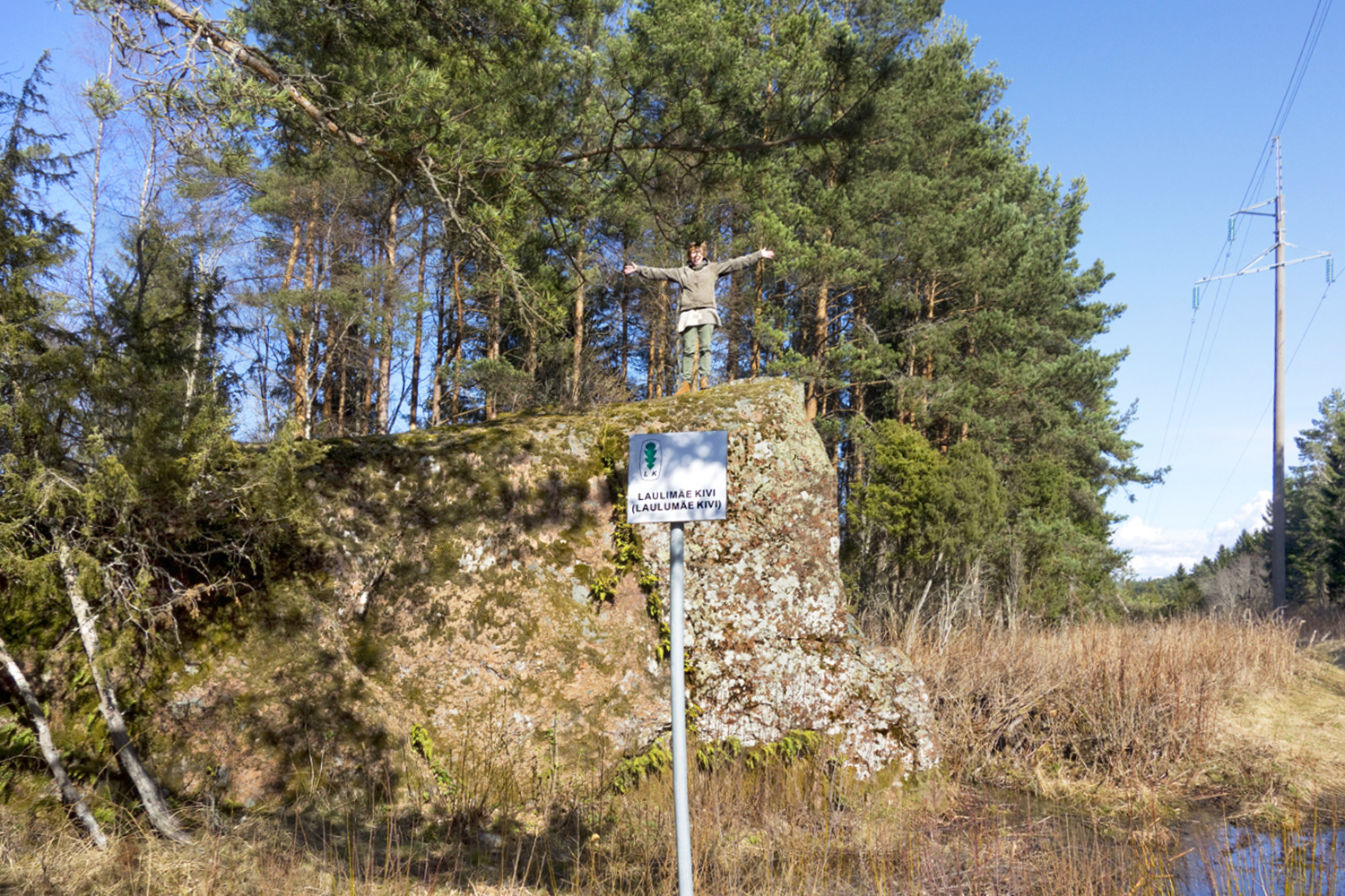
Laulumäe stone (or Laulimäe stone) is a granite (in Estonian, rabakivi, ’bog stone’) on the edge of Koila village bog. Its perimeter is 43.2 m, length 15.9 m, width 13.1 m, height 5.0 m. A bit further off in a swamp forest stands another boulder – Kuke-Miku stone, which got its name after the farm. Its perimeter is 23.4 m and height 4.5 m.
The ground is getting higher and swamp forest is replaced by pine forest.
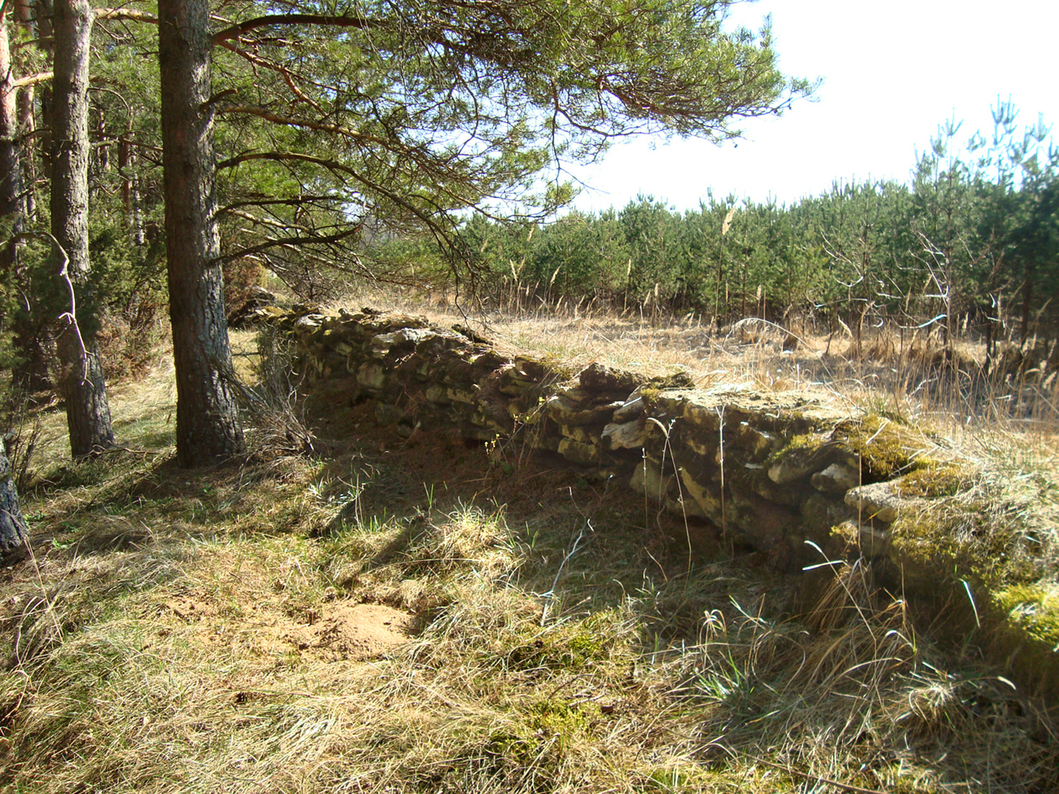
On the right, the path is lined by a partially overgrown old fence made of stones, and soon we hear strong sounds of falling water on the left, although Jägala waterfall is still quite some distance away.
After about 1.2 km from Laulumäe stone we come to a crossroads.
The road straight ahead leads to Toominga, Annika and Küti farms in Koila village, and it is worth your while to take a short walk there.
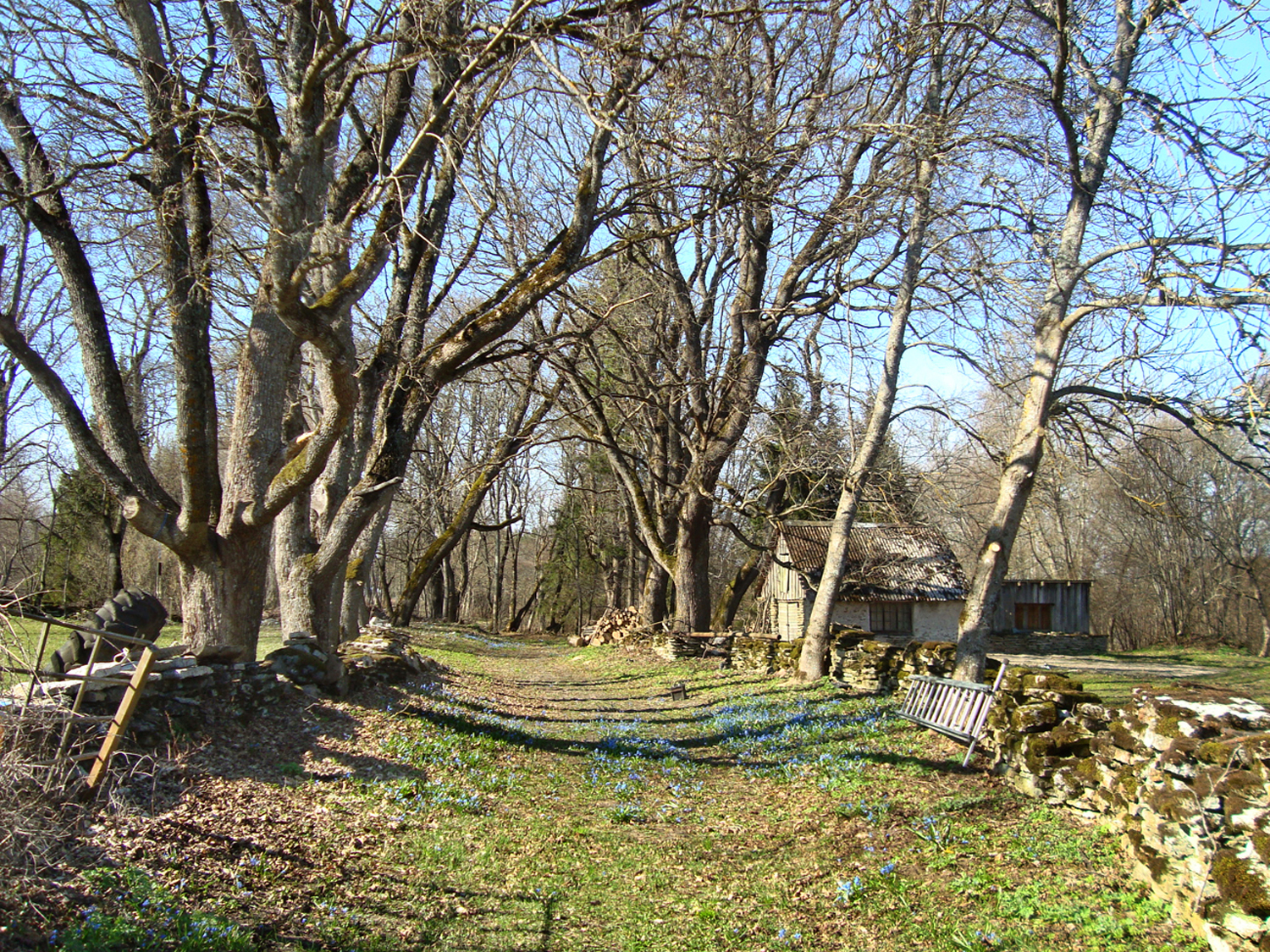
This romantic old village road is lined on both sides by a fence of limestones, and in spring everything is blue of wood squills (Scilla siberica). It is interesting to note that the farmsteads and road network of Koila ancient village have remained intact for centuries. True, on the 1688 map, 9 farmsteads are marked in Koila village, only 3 survive today. Several families were deported to Siberia at the beginning of the Soviet occupation; those who survived were not allowed to return to their homes.
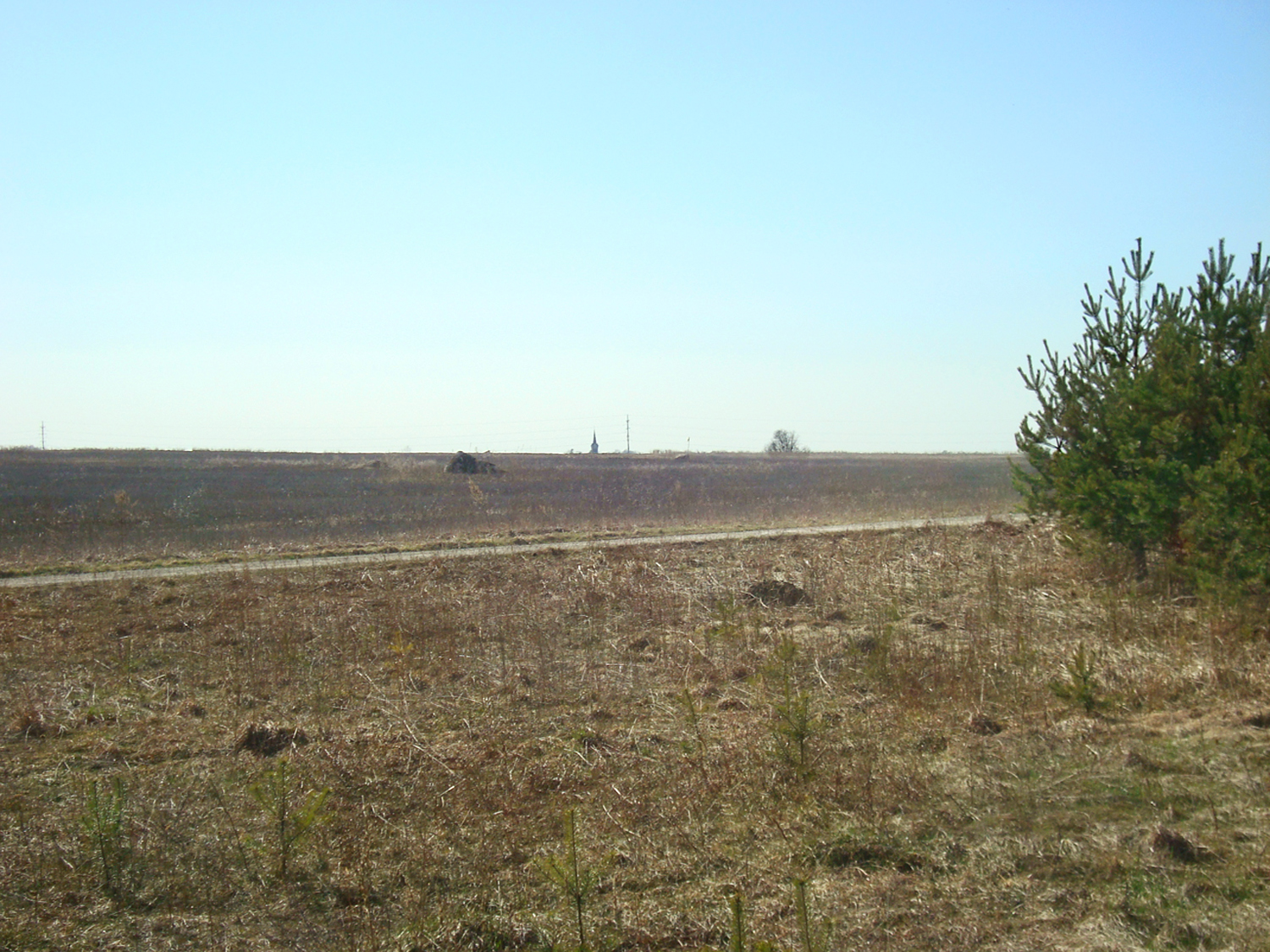
Our path (Koila road) takes a sharp turn to the right. The tower of the Jõelähtme church is visible across the field. Rebala Nature Reserve stretches south and west from us, and the field is also full of ancient cult stones and stone graves. According to the old map there were community fields here for centuries – narrow segments like stripes of a national costume skirt, each segment bearing the number of a farm.

Koila village, fragment of Johan Holmberg’s map, 1688. National Library map collection.
We walk along the Koila road along the field and in 1.8 km we reach the asphalt Ellandvahe road at Mesiniku farm. It is 2 more kilometres to Jõelähtme church.
Daila Aas and Tiiu Allikvee, 2021
Sources
https://maarjakirik.ee/2019/userfiles/downloads/kroonika2.pdfhttps://register.muinas.ee/public.php?menuID=monument&action=imagegallery&id=17594
https://register.muinas.ee/public.php?menuID=monument&action=view&id=17596
https://issuu.com/otse.info/docs/joelahtme
http://entsyklopeedia.ee/artikkel/hiidrahn
https://www.rmk.ee/metsa-majandamine/loodusblogi/kolm-kivi
https://www.muinsuskaitseamet.ee/ru/node/2056
https://www.muinsuskaitseamet.ee/sites/default/files/rebala_kulakoosolekute_ettekanne_koila.pdf
https://www.yumpu.com/xx/document/read/40270572/pdf-60-mb-geoloogia-instituut
https://maja.joelahtme.ee/ajaleht/2007/01_eri.pdf